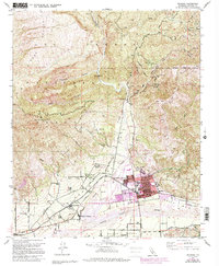
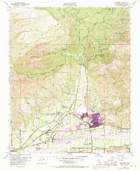
1951 Map of Fillmore
USGS Topo · Published 1994About this map
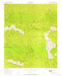
Fillmore and its northern extension, North Fillmore, occupy the center of this 1951 mid-century survey, situated at the confluence of Sespe Creek and the Santa Clara River. The landscape is defined by the sharp transition from the citrus groves and residential grid of the valley floor to the steep southern edges of the Los Padres National Forest. Cultural life in the valley is anchored by local institutions like Union HS and the Santa Clara Sch, while the regional economy is represented by the Southern Pacific railroad line and numerous oil wells dotting the foothills of Oat Mtn. To the north, the geography becomes increasingly protected, including the Sespe Condor Sanctuary and the Hopper Mountain National Wildlife Refuge. Nearby settlements like Bardsdale, Sespe Village, and Oak Village illustrate the post-war development pattern along the valley's primary transit corridors.
Find a feature on this map
50 named features on this map. Tap any name to fly to it.
Don’t see what you’re looking for? This feature index may not catch every label — zoom into the map to look around manually.
Map Details
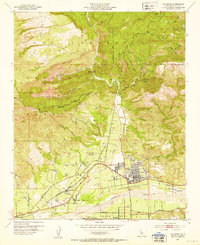
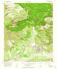
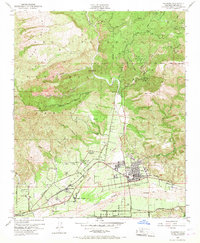
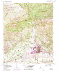
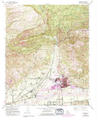
Editions of this 1951 Fillmore Map
7 editions found
Other maps of this area

1900 · Piru
USGS Topo · 1:62,500

1903 · Santa Paula
USGS Topo · 1:62,500

1903 · Mt. Pinos
USGS Topo · 1:125,000

1903 · Tejon
USGS Topo · 1:125,000

1903 · Camulos
USGS Topo · 1:125,000

1921 · Piru
USGS Topo · 1:62,500

1941 · Piru
USGS Topo · 1:62,500

1942 · Santa Paula
USGS Topo · 1:62,500
1943 · Topatopa Mountains
USGS Topo · 1:24,000
1943 · Devils Heart Peak
USGS Topo · 1:24,000