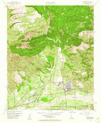
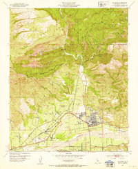
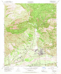
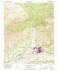
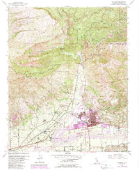
1951 Map of Fillmore
USGS Topo · Published 1960About this map
Fillmore and its northern extension anchor this survey of the fertile corridor between the Santa Clara River and the steep slopes of the Los Padres National Forest. The landscape is a study in early 1950s water management and land use, defined by a network of levees protecting agricultural tracts and the Southern Pacific rail line from the braided channel of Sespe Creek. Small residential clusters like Oak Village and Sespe Village appear near the Telegraph Road, reflecting the expansion of worker housing and local services during a period of steady growth.
Find a feature on this map
41 named features on this map. Tap any name to fly to it.
Don’t see what you’re looking for? This feature index may not catch every label — zoom into the map to look around manually.
Map Details
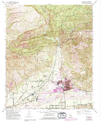
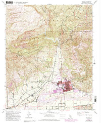
Editions of this 1951 Fillmore Map
7 editions found
Other maps of this area

1900 · Piru
USGS Topo · 1:62,500

1903 · Santa Paula
USGS Topo · 1:62,500

1903 · Mt. Pinos
USGS Topo · 1:125,000

1903 · Tejon
USGS Topo · 1:125,000

1903 · Camulos
USGS Topo · 1:125,000

1921 · Piru
USGS Topo · 1:62,500

1941 · Piru
USGS Topo · 1:62,500

1942 · Santa Paula
USGS Topo · 1:62,500
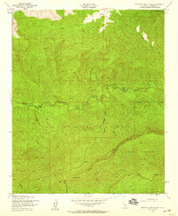
1943 · Topatopa Mountains
USGS Topo · 1:24,000
1943 · Devils Heart Peak
USGS Topo · 1:24,000