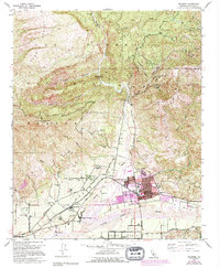
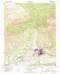
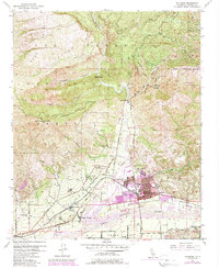
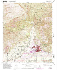
1951 Map of Fillmore
USGS Topo · Published 1994About this map
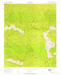
Santa Clara River and Sespe Creek converge in this high-contrast study of Ventura County's agricultural and industrial landscape during the mid-20th century. The valley floor is densely partitioned by citrus groves and orchards, punctuated by the central hub of Fillmore and surrounding residential pockets like Sespe Village and Oak Village. The influence of the petroleum industry is clearly mapped across the northern ridges, where numerous Oil Wells and Oil Tanks dot the canyons within the Los Padres National Forest.
Find a feature on this map
46 named features on this map. Tap any name to fly to it.
Don’t see what you’re looking for? This feature index may not catch every label — zoom into the map to look around manually.
Map Details
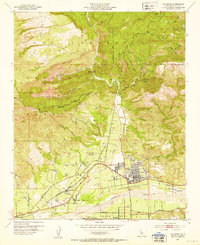
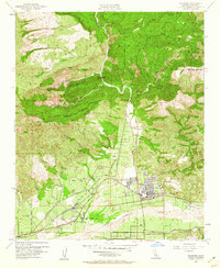
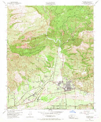
Editions of this 1951 Fillmore Map
7 editions found
Other maps of this area

1900 · Piru
USGS Topo · 1:62,500

1903 · Santa Paula
USGS Topo · 1:62,500

1903 · Mt. Pinos
USGS Topo · 1:125,000

1903 · Tejon
USGS Topo · 1:125,000

1903 · Camulos
USGS Topo · 1:125,000

1921 · Piru
USGS Topo · 1:62,500

1941 · Piru
USGS Topo · 1:62,500

1942 · Santa Paula
USGS Topo · 1:62,500
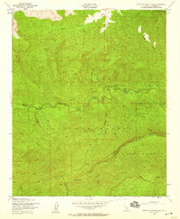
1943 · Topatopa Mountains
USGS Topo · 1:24,000
1943 · Devils Heart Peak
USGS Topo · 1:24,000