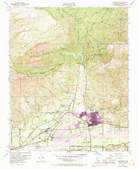
1951 Map of Fillmore
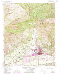
USGS Topo · Published 1989About this map
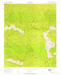
The Santa Clara River valley and its surrounding highlands are captured here during a period of agricultural and industrial expansion in mid-century Ventura County. The settlement of Fillmore stands as the primary hub, flanked by North Fillmore, Oak Village, and Sespe Village. These communities are bound together by the Southern Pacific railroad and historic thoroughfares like Telegraph Road. To the south, across the river, lies the community of Bardsdale, illustrating the valley's established citrus and ranching footprint.
Find a feature on this map
37 named features on this map. Tap any name to fly to it.
Don’t see what you’re looking for? This feature index may not catch every label — zoom into the map to look around manually.
Map Details
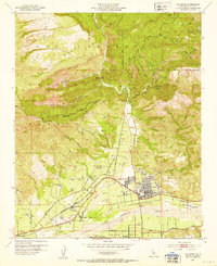
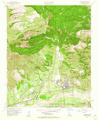
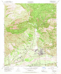
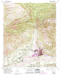
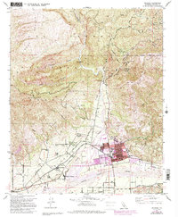
Editions of this 1951 Fillmore Map
7 editions found
Other maps of this area

1900 · Piru
USGS Topo · 1:62,500

1903 · Santa Paula
USGS Topo · 1:62,500

1903 · Mt. Pinos
USGS Topo · 1:125,000

1903 · Tejon
USGS Topo · 1:125,000

1903 · Camulos
USGS Topo · 1:125,000

1921 · Piru
USGS Topo · 1:62,500

1941 · Piru
USGS Topo · 1:62,500

1942 · Santa Paula
USGS Topo · 1:62,500
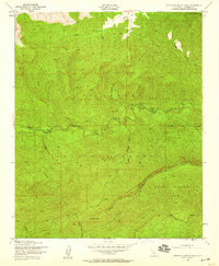
1943 · Topatopa Mountains
USGS Topo · 1:24,000
1943 · Devils Heart Peak
USGS Topo · 1:24,000