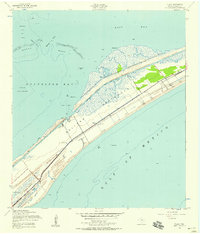
1954 Map of Flake
USGS Topo · Published 1958About this map
The Bolivar Peninsula stretches between the Gulf of Mexico and Galveston Bay, defining a landscape where maritime transport and coastal settlement intersect. This mid-century survey shows the community of Flake and the nearby Parrs Grove, positioned alongside the Intracoastal Waterway. A notable piece of local infrastructure is the Old Railroad Grade running parallel to State Route 87, providing a clear record of the area's former transit corridor. To the north, the shallow waters of East Bay are divided by Hanna Reef, while smaller features like Oyster Lake and Elmgrove Pt punctuate the marshy shoreline. The presence of the Port Bolivar Cem and scattered landmarks like Masts Exposed in the Gulf highlight the human history and navigational hazards of this narrow coastal strip during the 1950s.
Find a feature on this map
20 named features on this map. Tap any name to fly to it.
Don’t see what you’re looking for? This feature index may not catch every label — zoom into the map to look around manually.
Map Details
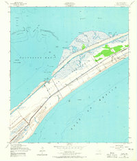
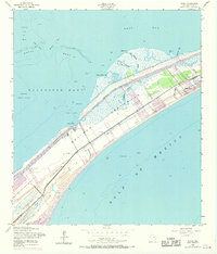
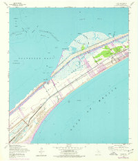
Editions of this 1954 Flake Map
4 editions found
Other maps of this area

1930 · Galveston
USGS Topo · 1:24,000

1931 · Flake
USGS Topo · 1:24,000

1931 · Frozen Point
USGS Topo · 1:24,000

1932 · Bolivar Point
USGS Topo · 1:24,000

1933 · Frozen Point
USGS Topo · 1:31,680

1933 · Caplen
USGS Topo · 1:31,680

1933 · The Jetties
USGS Topo · 1:31,680

1933 · Whites Lake
USGS Topo · 1:31,680

1933 · Smith Point
USGS Topo · 1:31,680

1933 · Bolivar Point
USGS Topo · 1:31,680