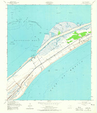
1954 Map of Flake
USGS Topo · Published 1965About this map
The Bolivar Peninsula shoreline during the mid-1950s reveals a narrow strip of land heavily defined by its transition between Galveston Bay and the Gulf of Mexico. At this time, the Intracoastal Waterway cuts a straight path through the salt marshes, separating the bayside coves like Sievers Cove and Pepper Grove Cove from the developing gulf-facing beach communities. Small settlements such as Crystal Beach and Flake are visible, while the Port Bolivar Cem and Parrs Grove provide markers for family researchers in the area. The presence of the Old Railroad Grade running parallel to the coast serves as a reminder of earlier transportation efforts that once linked these peninsula outposts. The map also captures a complex marine environment of oyster reefs and passes, including Hanna Reef and Ladies Pass, which dominated the local fishing and maritime economy of East Bay.
Find a feature on this map
25 named features on this map. Tap any name to fly to it.
Don’t see what you’re looking for? This feature index may not catch every label — zoom into the map to look around manually.
Map Details
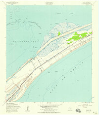
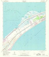
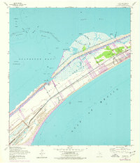
Editions of this 1954 Flake Map
4 editions found
Other maps of this area

1930 · Galveston
USGS Topo · 1:24,000

1931 · Flake
USGS Topo · 1:24,000

1931 · Frozen Point
USGS Topo · 1:24,000

1932 · Bolivar Point
USGS Topo · 1:24,000

1933 · Frozen Point
USGS Topo · 1:31,680

1933 · Caplen
USGS Topo · 1:31,680

1933 · The Jetties
USGS Topo · 1:31,680

1933 · Whites Lake
USGS Topo · 1:31,680

1933 · Smith Point
USGS Topo · 1:31,680

1933 · Bolivar Point
USGS Topo · 1:31,680