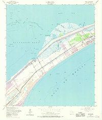
1954 Map of Flake
USGS Topo · Published 1970About this map
Bolivar Peninsula stretches between the Gulf of Mexico and Galveston Bay, showcasing a coastal landscape defined by maritime infrastructure and emerging settlements in the mid-20th century. The settlement of Flake and the developing area of Crystal Beach are the primary points of habitation along the narrow strip of land. A significant historical marker is found in the Old Railroad Grade running parallel to the coastline, which traces the former path of rail transit along the peninsula before it was superseded by modern roads.
Find a feature on this map
23 named features on this map. Tap any name to fly to it.
Don’t see what you’re looking for? This feature index may not catch every label — zoom into the map to look around manually.
Map Details
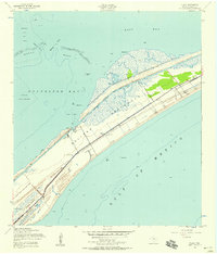
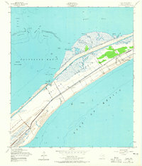
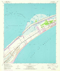
Editions of this 1954 Flake Map
4 editions found
Other maps of this area

1930 · Galveston
USGS Topo · 1:24,000

1931 · Flake
USGS Topo · 1:24,000

1931 · Frozen Point
USGS Topo · 1:24,000

1932 · Bolivar Point
USGS Topo · 1:24,000

1933 · Frozen Point
USGS Topo · 1:31,680

1933 · Caplen
USGS Topo · 1:31,680

1933 · The Jetties
USGS Topo · 1:31,680

1933 · Whites Lake
USGS Topo · 1:31,680

1933 · Smith Point
USGS Topo · 1:31,680

1933 · Bolivar Point
USGS Topo · 1:31,680