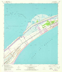
1954 Map of Flake
USGS Topo · Published 1977About this map
Bolivar Peninsula stretches between the Gulf of Mexico and Galveston Bay, showing a landscape defined by both maritime industry and coastal settlement. This 1954 survey, updated through the mid-1970s, documents the growth of Crystal Beach and the small community of Flake along the central spine of the peninsula. The engineering of the Texas coast is evident in the straight cut of the Intracoastal Waterway and the nearby Dredgeboat Slough, while an Old Railroad Grade provides a clear trace of earlier transportation infrastructure that once connected these isolated coastal reaches. Researchers of local genealogy will find the Port Bolivar Cem near the gulf shore, while maritime historians can study the complex oyster reefs and passes of the East Bay side, including Hanna Reef and Moodys Pass.
Find a feature on this map
23 named features on this map. Tap any name to fly to it.
Don’t see what you’re looking for? This feature index may not catch every label — zoom into the map to look around manually.
Map Details
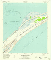
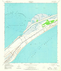
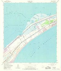
Editions of this 1954 Flake Map
4 editions found
Other maps of this area

1930 · Galveston
USGS Topo · 1:24,000

1931 · Flake
USGS Topo · 1:24,000

1931 · Frozen Point
USGS Topo · 1:24,000

1932 · Bolivar Point
USGS Topo · 1:24,000

1933 · Frozen Point
USGS Topo · 1:31,680

1933 · Caplen
USGS Topo · 1:31,680

1933 · The Jetties
USGS Topo · 1:31,680

1933 · Whites Lake
USGS Topo · 1:31,680

1933 · Smith Point
USGS Topo · 1:31,680

1933 · Bolivar Point
USGS Topo · 1:31,680