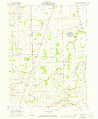
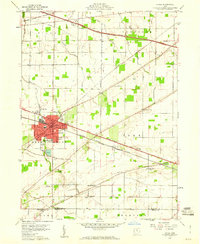
1960 Map of Flat Rock
USGS Topo · Published 1973About this map
Seneca Caverns and the Sorrowfull Mother Shrine anchor the landscape of northern Ohio in this mid-century survey, which reveals a transition between the East Boundary Congress Lands and the Connecticut Western Reserve. The rural character of Seneca and Huron counties is defined by a grid of farm roads and scattered crossroads settlements like Frank, Weavers Corners, and Bismarck. A notable information-gain insight is the mapping of the First Principal Meridian and the distinct change in land surveys it represents, intersecting with the Norfolk and Western railroad corridor. Local history is deeply embedded in the numerous religious and social sites, including the Childrens Home near Flat Rock, and several parish churches such as St Pauls Ch. The landscape is further marked by several small family and township burial grounds, including the Boughton Cem and Township Cem.
Find a feature on this map
46 named features on this map. Tap any name to fly to it.
Don’t see what you’re looking for? This feature index may not catch every label — zoom into the map to look around manually.
Map Details
Editions of this 1960 Flat Rock Map
3 editions found
Other maps of this area

1901 · Bellevue
USGS Topo · 1:62,500

1903 · Bellevue
USGS Topo · 1:62,500

1904 · Sandusky
USGS Topo · 1:62,500

1915 · Norwalk
USGS Topo · 1:62,500

1915 · Siam
USGS Topo · 1:62,500

1944 · Norwalk
USGS Topo · 1:62,500

1956 · Toledo
USGS Topo · 1:250,000

1959 · Kimball
USGS Topo · 1:24,000
1959 · Bellevue
USGS Topo · 1:24,000
1959 · Clyde
USGS Topo · 1:24,000