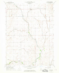
1968 Map of Flatville
USGS Topo · Published 1970About this map
The agricultural landscape of eastern Illinois is meticulously defined here, dominated by an extensive network of engineered waterways designed to manage the fertile prairie. The Upper Salt Fork Drainage Ditch and Union Drainage Ditch No 1 cut geometric paths across the townships of Rantoul, Compromise, and Stanton. This system converges into the Salt Fork, illustrating the region's total commitment to land reclamation for farming. Small rural nodes like Flatville and Sellers serve as anchors for the surrounding farmsteads.
Find a feature on this map
22 named features on this map. Tap any name to fly to it.
Don’t see what you’re looking for? This feature index may not catch every label — zoom into the map to look around manually.
Map Details
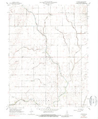
Editions of this 1968 Flatville Map
2 editions found
Other maps of this area

1906 · Urbana
USGS Topo · 1:62,500

1924 · Paxton
USGS Topo · 1:62,500

1927 · Paxton
USGS Topo · 1:62,500

1931 · Fithian
USGS Topo · 1:48,000

1936 · Potomac
USGS Topo · 1:62,500

1943 · Fithian
USGS Topo · 1:62,500

1949 · Paxton
USGS Topo · 1:62,500

1953 · Danville
USGS Topo · 1:250,000

1955 · Danville
USGS Topo · 1:250,000

1956 · Danville
USGS Topo · 1:250,000