Loading...
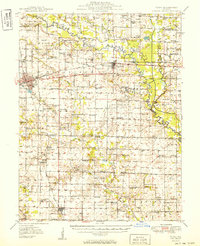
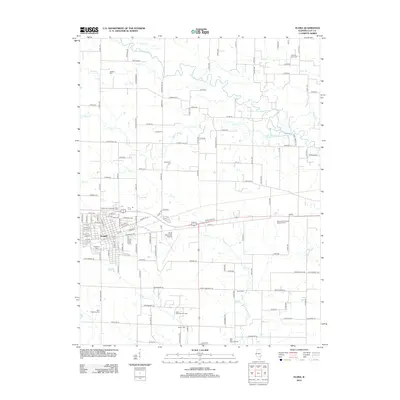
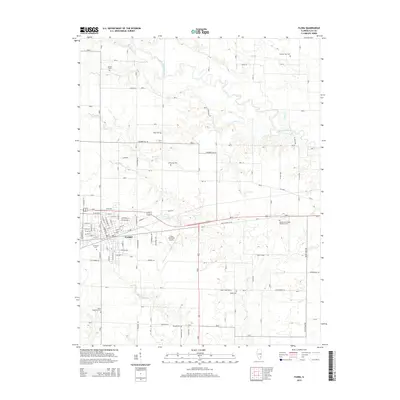
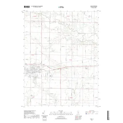
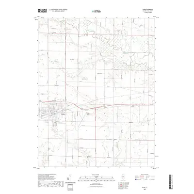
Loading map...1949 Map of Flora
USGS Topo · Published 1949About this map
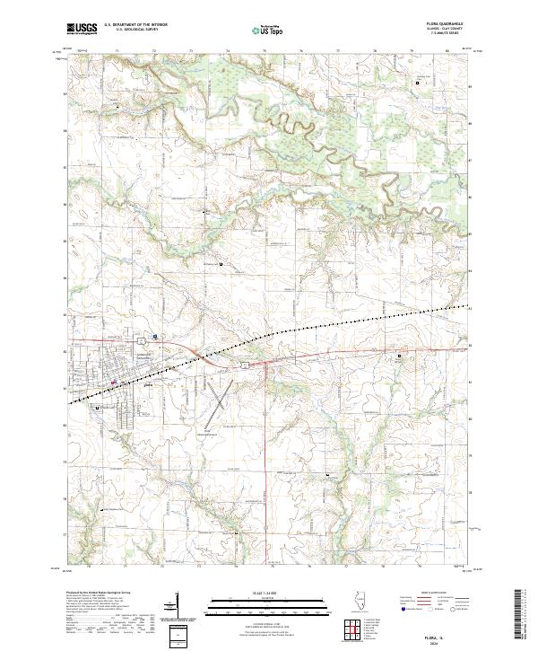
The Little Wabash River winds through this central Illinois landscape, defining the topography around the major rail hub of Flora. At the intersection of two critical Baltimore and Ohio lines, Flora serves as the regional anchor, flanked by a network of rural schools and family-named cemeteries that reflect a deeply rooted agricultural society. To the east, Clay City sits near the river’s edge, while to the north, Louisville overlooks the river's meandering bends.
Find a feature on this map
90 named features on this map. Tap any name to fly to it.
Don’t see what you’re looking for? This feature index may not catch every label — zoom into the map to look around manually.
Map Details
Date Portrayed1949
Date Published1949
PublisherU.S. Geological Survey
Map TypeTopographic
Scale1:62,500
Physical Dimensions16.9 x 20.8 inches
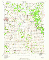
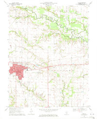
Editions of this 1949 Flora Map
2 editions found
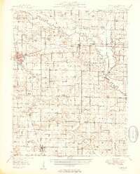
Historical Maps of Flora Through Time
8 maps found
Featured Locations
- Clay City Township, IL
- Flora, IL
- Harter Township, IL
- Cisne, Bedford Township
- Clay City, Clay City Township
Source Details
SourceU.S. Geological Survey
CopyrightPublic Domain