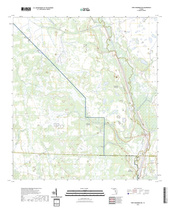
2024 Map of Fort Kissimmee NW
USGS Topo · Published 2024About this map
The Avon Park AF Range dominates the western half of this Florida interior landscape, where military training grounds meet a complex network of wetlands and riverine ecology. The eastern edge is defined by the winding course of the Kissimmee River, which serves as a major boundary between Polk and Osceola counties. This 2024 survey captures the region's distinct hydrological features, including named wetlands such as Ice Cream Slough, Eightmile Slough, and Tick Island Slough.
Find a feature on this map
25 named features on this map. Tap any name to fly to it.
Don’t see what you’re looking for? This feature index may not catch every label — zoom into the map to look around manually.
Map Details
Editions of this 2024 Fort Kissimmee NW Map
This is the sole edition of this map. No revisions or reprints were ever made.
Other maps of this area

1952 · Fort Kissimmee
USGS Topo · 1:24,000

1952 · Lake Weohyakapka SE
USGS Topo · 1:24,000

1952 · Fort Kissimmee NW
USGS Topo · 1:24,000

1952 · Lake Arbuckle NE
USGS Topo · 1:24,000

1952 · Lake Arbuckle SE
USGS Topo · 1:24,000

1953 · Fort Kissimmee NE
USGS Topo · 1:24,000

1953 · Lake Marian SE
USGS Topo · 1:24,000

1953 · Lake Marian SW
USGS Topo · 1:24,000

1953 · Fort Kissimmee SE
USGS Topo · 1:24,000

1956 · Fort Pierce
USGS Topo · 1:250,000