
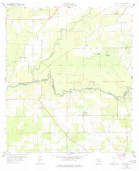
1958 Map of Fort Union
USGS Topo · Published 1959About this map
The Alapaha River winds southward through this late 1950s landscape, eventually joining the Suwannee River along the Hamilton Co Suwannee Co border. This area is characterized by a high density of rural religious and community markers, including New Hope Ch, Friendship Ch, and Olive Branch Ch. The mapping of the Base Line running east-to-west provides a clear surveying anchor for the scattered small settlements and family farms. Local industry and water management are evidenced by the presence of Gohegan Millpond and several water bodies such as Cypress Pond and Eleven Ponds. Genealogists may find the location of the Fort Union Cem and West Lake Cem particularly useful for identifying family sites near the communities of Adams and Allison.
Find a feature on this map
19 named features on this map. Tap any name to fly to it.
Don’t see what you’re looking for? This feature index may not catch every label — zoom into the map to look around manually.
Map Details
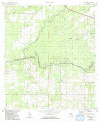
Editions of this 1958 Fort Union Map
3 editions found
Other maps of this area

1954 · Valdosta
USGS Topo · 1:250,000

1955 · Jasper
USGS Topo · 1:24,000

1956 · Jennings
USGS Topo · 1:24,000

1956 · Octahatchee
USGS Topo · 1:24,000

1958 · Valdosta
USGS Topo · 1:250,000

1959 · Valdosta
USGS Topo · 1:250,000

1959 · Ellaville
USGS Topo · 1:24,000

1959 · Live Oak West
USGS Topo · 1:24,000

1959 · Falmouth
USGS Topo · 1:24,000

1961 · Live Oak East
USGS Topo · 1:24,000