
1955 Map of Fort Worth
USGS Topo · Published 1982About this map
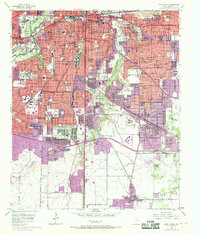
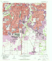
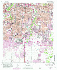
The Trinity River and its Clear Fork anchor this mid-century look at the rapid urban development of the Tarrant County seat. The landscape is defined by massive institutional footprints, from the academic grounds of Texas Christian University and Texas Wesleyan College to the sprawling Southwestern Baptist Theological Seminary. Major infrastructure projects are evident in the path of the Dallas-Ft Worth Turnpike and a dense network of railroads including the Texas and Pacific RR and St Louis Southwestern RR. Industrial activity is represented by a Gravel Pit near the river, while the civic character of the era is captured through landmarks like the Will Rogers Memorial and the Federal Correctional Institution. Residential growth is visible in neighborhoods such as Brooklyn Heights and Morningside, showing the city's southward expansion toward Everman.
Find a feature on this map
134 named features on this map. Tap any name to fly to it.
Don’t see what you’re looking for? This feature index may not catch every label — zoom into the map to look around manually.
Map Details
Editions of this 1955 Fort Worth Map
5 editions found
Other maps of this area

1894 · Fort Worth
USGS Topo · 1:125,000

1931 · Grapevine
USGS Topo · 1:62,500

1954 · Dallas
USGS Topo · 1:250,000

1955 · Haltom City
USGS Topo · 1:24,000

1955 · Burleson
USGS Topo · 1:24,000

1955 · Primrose
USGS Topo · 1:24,000

1955 · Lake Worth
USGS Topo · 1:24,000

1955 · Benbrook
USGS Topo · 1:24,000

1955 · Fort Worth
USGS Topo · 1:24,000

1955 · Haltom City
USGS Topo · 1:62,500