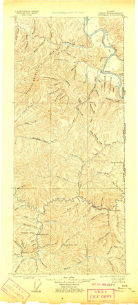
1899 Map of Fortymile
USGS Topo · Published 1910About this map
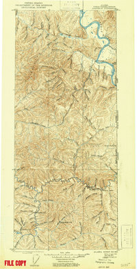
The Eagle settlement on the banks of the Yukon River serves as the northern anchor for this reconnaissance survey, conducted just as the gold rush era reshaped the interior of Alaska. The map traces a network of post offices and camps essential to early miners and prospectors, including Steel Creek P.O. and Jack Wade P.O. in the southeast, and Chicken P.O. and Franklin P.O. near the south fork of the river system.
Find a feature on this map
89 named features on this map. Tap any name to fly to it.
Don’t see what you’re looking for? This feature index may not catch every label — zoom into the map to look around manually.
Map Details
Editions of this 1899 Fortymile Map
3 editions found
Other maps of this area

1899 · Fortymile
USGS Topo · 1:250,000

1949 · Tanacross
USGS Topo · 1:250,000

1950 · Tanacross
USGS Topo · 1:250,000

1951 · Charley River
USGS Topo · 1:250,000

1951 · Eagle
USGS Topo · 1:250,000

1956 · Charley River A-3
USGS Topo · 1:63,360

1956 · Charley River A-2
USGS Topo · 1:63,360

1956 · Charley River A-1
USGS Topo · 1:63,360

1956 · Charley River
USGS Topo · 1:250,000

1956 · Tanacross D-3
USGS Topo · 1:63,360