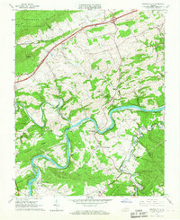
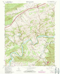
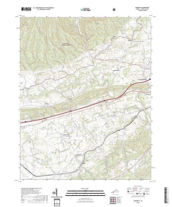
1965 Map of Fosters Falls
USGS Topo · Published 1967This historical map portrays the area of Fosters Falls in 1965, primarily covering Wythe County as well as portions of Pulaski County and Carroll County. Featuring a scale of 1:24000, this map provides a highly detailed snapshot of the terrain, roads, buildings, counties, and historical landmarks in the Fosters Falls region at the time. Published in 1967, it is one of 3 known editions of this map due to revisions or reprints.
Find a feature on this map
56 named features on this map. Tap any name to fly to it.
Don’t see what you’re looking for? This feature index may not catch every label — zoom into the map to look around manually.
Map Details
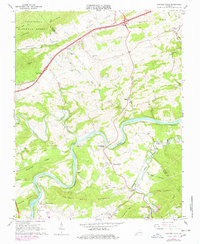
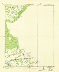
Editions of this 1965 Fosters Falls Map
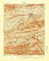
Historical Maps of Wythe County Through Time
13 maps found

1930 Speedwell
Wythe County, VA
1935 Groseclose
Wythe County, VA
1939 Speedwell
Wythe County, VA
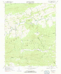
1965 Fosters Falls
Wythe County, VA
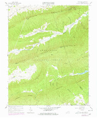
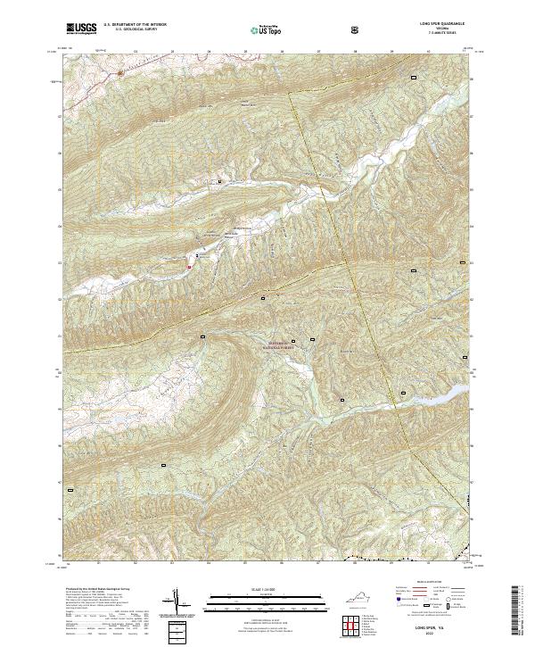
1965 Long Spur
Wythe County, VA
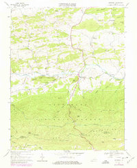
1968 Cripple Creek
Wythe County, VA
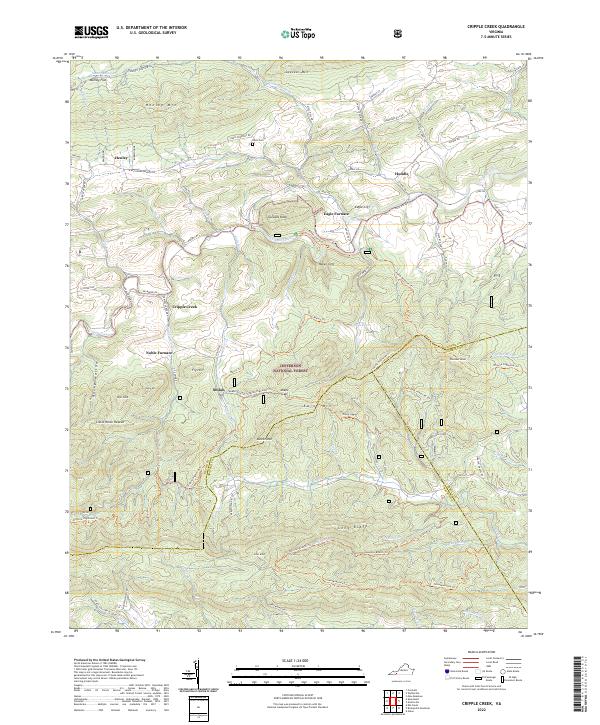
1968 Crockett
Wythe County, VA
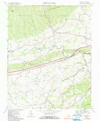
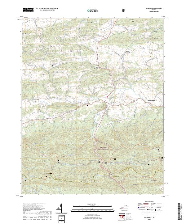
1968 Speedwell
Wythe County, VA
2022 Cripple Creek
Wythe County, VA
2022 Crockett
Wythe County, VA
2022 Fosters Falls
Wythe County, VA
2022 Long Spur
Wythe County, VA
2022 Speedwell
Wythe County, VA