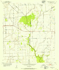
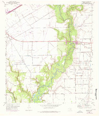
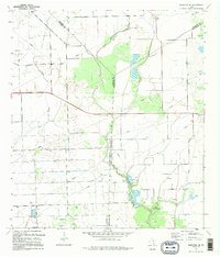
1952 Map of Francitas NE
USGS Topo · Published 1953This historical map portrays the area of Francitas NE in 1952, primarily covering Jackson County as well as portions of Wharton County and Matagorda County. Featuring a scale of 1:24000, this map provides a highly detailed snapshot of the terrain, roads, buildings, counties, and historical landmarks in the Francitas NE region at the time. Published in 1953, it is one of 2 known editions of this map due to revisions or reprints.
Find a feature on this map
14 named features on this map. Tap any name to fly to it.
Don’t see what you’re looking for? This feature index may not catch every label — zoom into the map to look around manually.
Map Details
Editions of this 1952 Francitas NE Map
2 editions found
Historical Maps of Wharton County Through Time
11 maps found
1952 Francitas NE
Jackson County, TX
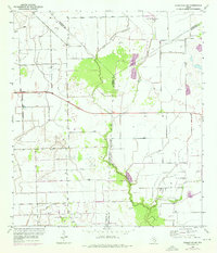
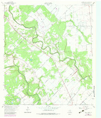
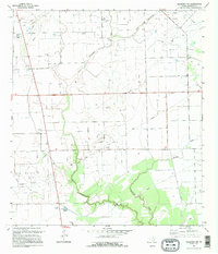
1952 Francitas NW
Jackson County, TX
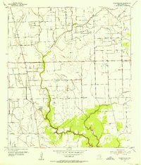
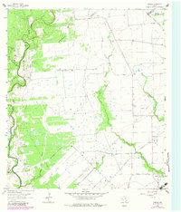
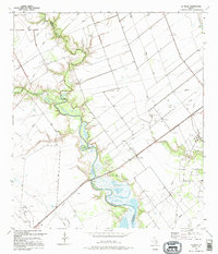
1952 La Salle
Jackson County, TX
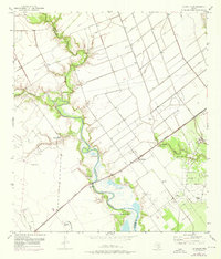
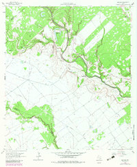
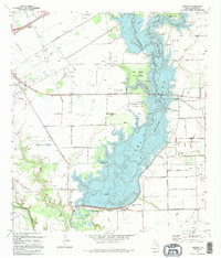
1952 Manson
Jackson County, TX
1963 Mount Olive
Jackson County, TX
1964 Cordele
Jackson County, TX
1964 Navidad
Jackson County, TX
1995 Francitas NE
Jackson County, TX
1995 Francitas NW
Jackson County, TX
1995 La Salle
Jackson County, TX
1995 Manson
Jackson County, TX