1995 Map of Francitas NE
USGS Topo · Published 1995About this map
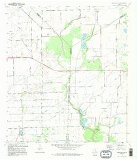
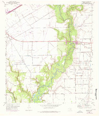
Oil and gas infrastructure dominates this coastal Texas landscape, where the Mauritz Oil Field and Little Kentucky Oil Field intersect a complex network of pipelines. Tracing the convergence of Jackson, Matagorda, and Wharton counties, the map reveals a region defined by extraction and drainage. Waterways like East Carancahua Creek and Moccasin Creek meander through a grid of siphons, flumes, and levees, illustrating the intensive water management required for the surrounding fields. An interesting historical note is found in the center, where an indefinite boundary marks long-standing surveying ambiguities between Jackson and Matagorda counties. Further south, the North Francitas Oil Field includes a landing strip, signaling the specialized transportation needs of the mid-century petroleum industry.
Find a feature on this map
12 named features on this map. Tap any name to fly to it.
Don’t see what you’re looking for? This feature index may not catch every label — zoom into the map to look around manually.
Map Details
Editions of this 1995 Francitas NE Map
This is the sole edition of this map. No revisions or reprints were ever made.
Historical Maps of Matagorda County Through Time
18 maps found
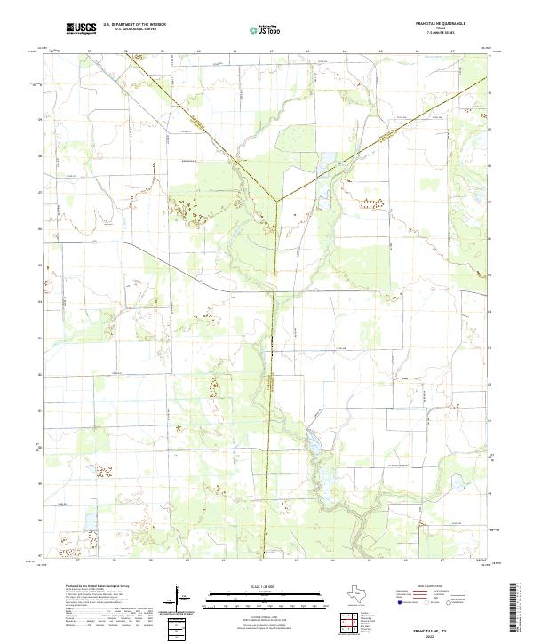
1952 Francitas NE
Jackson County, TX
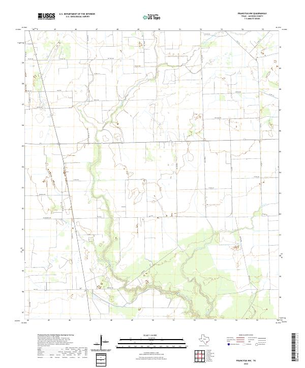
1952 Francitas NW
Jackson County, TX
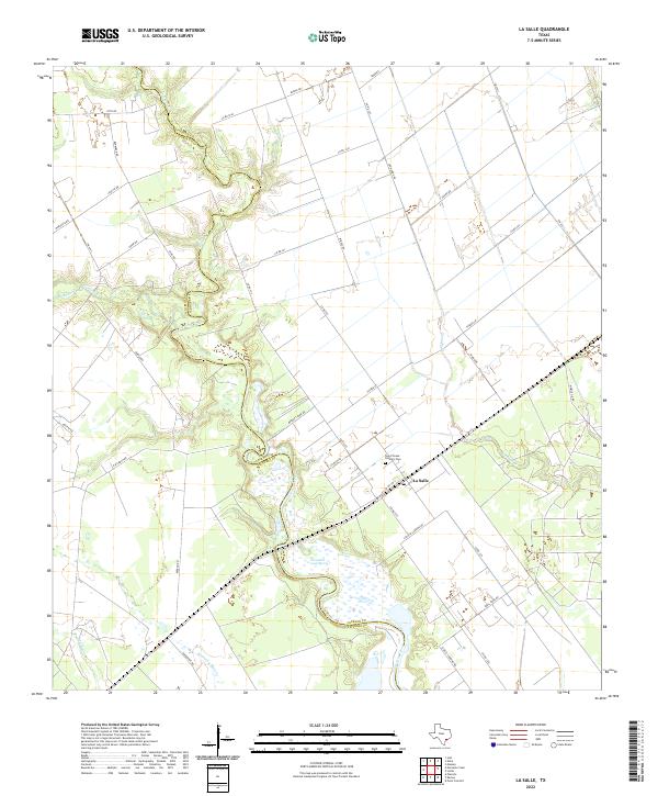
1952 La Salle
Jackson County, TX
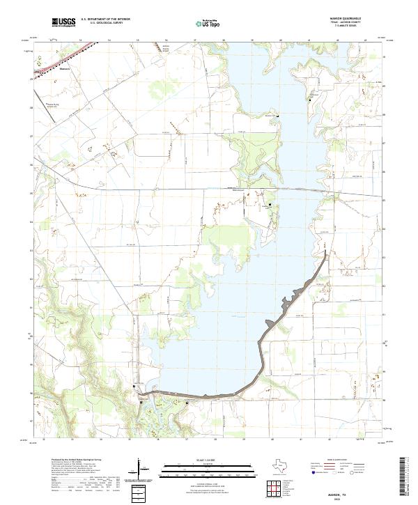
1952 Manson
Jackson County, TX
1963 Mount Olive
Jackson County, TX
1964 Cordele
Jackson County, TX
1964 Navidad
Jackson County, TX
1995 Francitas NE
Jackson County, TX
1995 Francitas NW
Jackson County, TX
1995 La Salle
Jackson County, TX
1995 Manson
Jackson County, TX
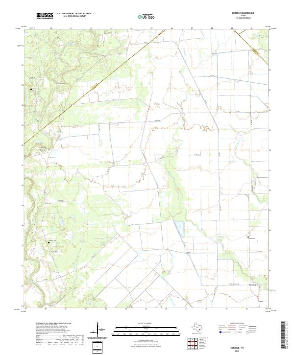
2022 Cordele
Jackson County, TX
2022 Francitas NE
Jackson County, TX
2022 Francitas NW
Jackson County, TX
2022 La Salle
Jackson County, TX
2022 Manson
Jackson County, TX
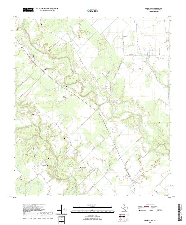
2022 Mount Olive
Jackson County, TX
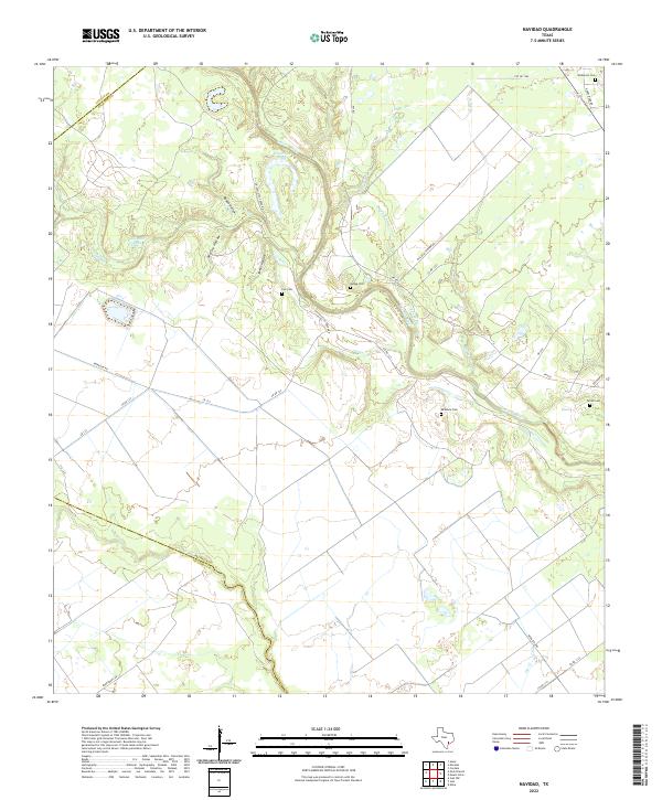
2022 Navidad
Jackson County, TX