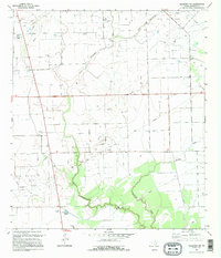
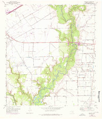
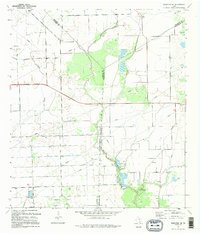
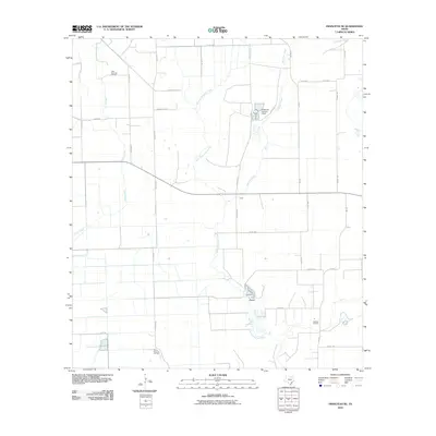
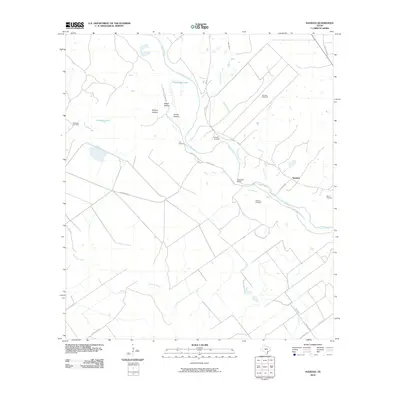
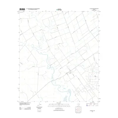
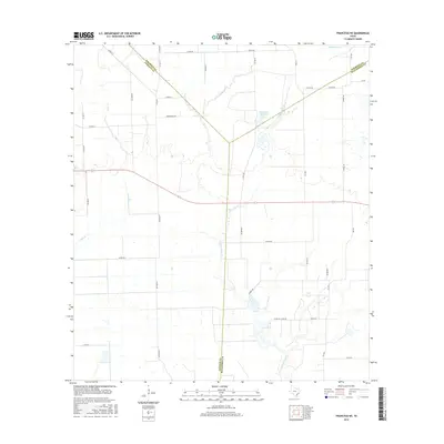
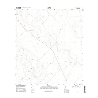
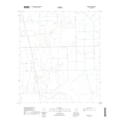
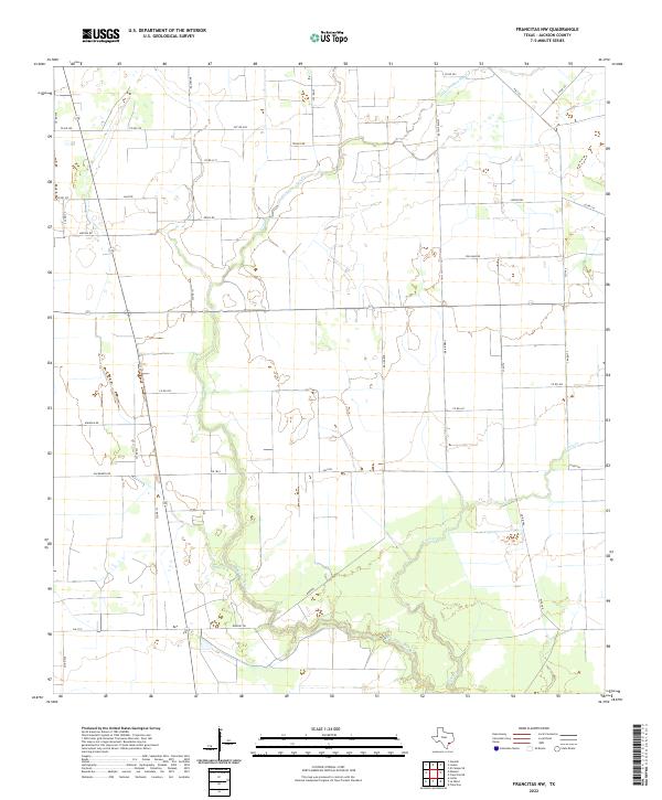
1995 Map of Francitas NW
USGS Topo · Published 1995About this map
Industrial infrastructure and coastal drainage patterns define this mid-1990s landscape in Jackson County. The terrain is heavily marked by energy production, with the Stewart Oil Field and Ganado Oil Field anchoring the northern and central sectors. These fields are part of a dense network of extraction sites that include the Maubro Oil Field, Mayo Oil Field, and Mauritz Oil Field, illustrating the area's long-standing economic reliance on the oil and gas industry.
Find a feature on this map
12 named features on this map. Tap any name to fly to it.
Don’t see what you’re looking for? This feature index may not catch every label — zoom into the map to look around manually.
Map Details
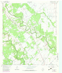
Editions of this 1995 Francitas NW Map
This is the sole edition of this map. No revisions or reprints were ever made.
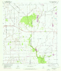
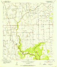
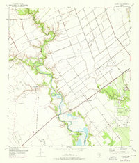
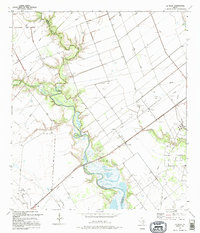
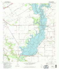
Historical Maps of Jackson County Through Time
46 maps found
1952 Francitas NE
Jackson County, TX
1952 Francitas NW
Jackson County, TX
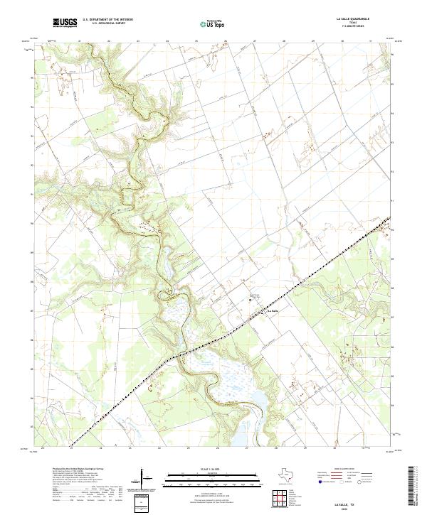
1952 La Salle
Jackson County, TX
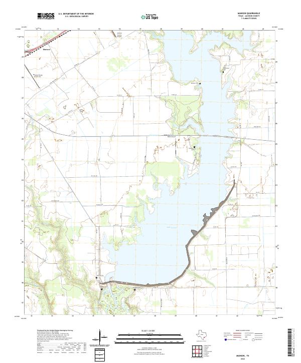
1952 Manson
Jackson County, TX
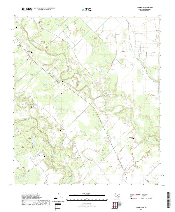
1963 Mount Olive
Jackson County, TX
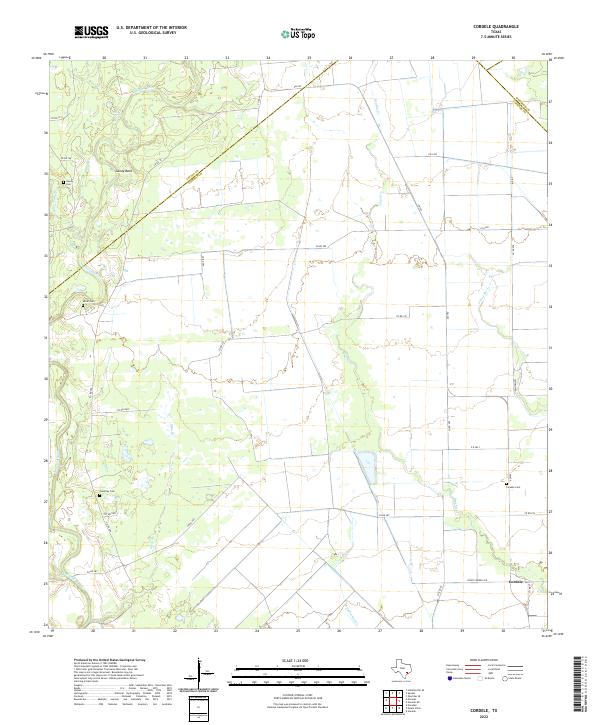
1964 Cordele
Jackson County, TX
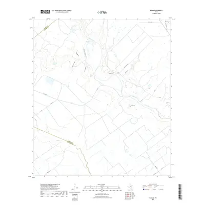
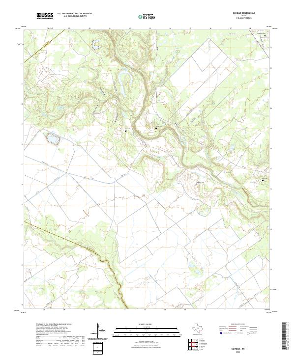
1964 Navidad
Jackson County, TX
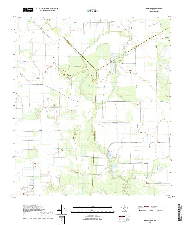
1995 Francitas NE
Jackson County, TX
1995 Francitas NW
Jackson County, TX
1995 La Salle
Jackson County, TX
1995 Manson
Jackson County, TX
2010 Cordele
Jackson County, TX
2010 Francitas NE
Jackson County, TX
2010 Francitas NW
Jackson County, TX
2010 La Salle
Jackson County, TX

2010 Manson
Jackson County, TX
2010 Mount Olive
Jackson County, TX
2010 Navidad
Jackson County, TX
2013 Cordele
Jackson County, TX
2013 Francitas NE
Jackson County, TX
2013 Francitas NW
Jackson County, TX
2013 La Salle
Jackson County, TX

2013 Manson
Jackson County, TX
2013 Mount Olive
Jackson County, TX
2013 Navidad
Jackson County, TX
2016 Cordele
Jackson County, TX
2016 Francitas NE
Jackson County, TX
2016 Francitas NW
Jackson County, TX
2016 La Salle
Jackson County, TX
2016 Manson
Jackson County, TX
2016 Mount Olive
Jackson County, TX
2016 Navidad
Jackson County, TX
2019 Cordele
Jackson County, TX
2019 Francitas NE
Jackson County, TX
2019 Francitas NW
Jackson County, TX
2019 La Salle
Jackson County, TX
2019 Manson
Jackson County, TX
2019 Mount Olive
Jackson County, TX
2019 Navidad
Jackson County, TX
2022 Cordele
Jackson County, TX
2022 Francitas NE
Jackson County, TX
2022 Francitas NW
Jackson County, TX
2022 La Salle
Jackson County, TX
2022 Manson
Jackson County, TX
2022 Mount Olive
Jackson County, TX
2022 Navidad
Jackson County, TX