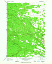
1962 Map of Friend
USGS Topo · Published 1964About this map
Friend sits at the intersection of dryland farming and timbered slopes in the early 1960s, marking a transition point where the eastern plateau meets the Mount Hood National Forest. The settlement character of this high country is defined by isolated outposts and seasonal activity, illustrated by the presence of Camp Morrow and a rural Cem near Pine Creek. The landscape is etched with irrigation and drainage efforts, such as the Highland Ditch, which redirect water through the varied elevations of Happy Ridge and South Ridge.
Find a feature on this map
29 named features on this map. Tap any name to fly to it.
Don’t see what you’re looking for? This feature index may not catch every label — zoom into the map to look around manually.
Map Details
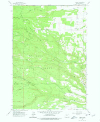
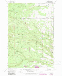
Editions of this 1962 Friend Map
3 editions found
Other maps of this area

1930 · Dufur
USGS Topo · 1:125,000

1934 · Dufur
USGS Topo · 1:125,000

1953 · The Dalles
USGS Topo · 1:250,000

1956 · The Dalles
USGS Topo · 1:250,000

1957 · The Dalles
USGS Topo · 1:250,000

1962 · Wolf Run
USGS Topo · 1:24,000

1962 · Rock Creek Reservoir
USGS Topo · 1:24,000

1962 · Postage Stamp Butte
USGS Topo · 1:24,000

1962 · Wamic
USGS Topo · 1:24,000
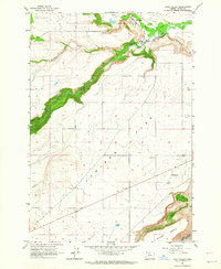
1962 · Tygh Valley
USGS Topo · 1:24,000