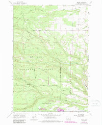
1962 Map of Friend
USGS Topo · Published 1987About this map
Friend serves as the primary settlement hub in this transition between agricultural land and the forested slopes of the Mt Hood National Forest. The landscape is defined by its drainage systems, with Tygh Creek and Badger Creek cutting deep through the terrain toward the east. Notable infrastructure for water management is evident in the Highland Ditch, while the creation of Pine Hollow Lake in the southern portion of the sheet highlights the development of local reservoirs.
Find a feature on this map
26 named features on this map. Tap any name to fly to it.
Don’t see what you’re looking for? This feature index may not catch every label — zoom into the map to look around manually.
Map Details
Editions of this 1962 Friend Map
3 editions found
Other maps of this area

1930 · Dufur
USGS Topo · 1:125,000

1934 · Dufur
USGS Topo · 1:125,000

1953 · The Dalles
USGS Topo · 1:250,000

1956 · The Dalles
USGS Topo · 1:250,000

1957 · The Dalles
USGS Topo · 1:250,000

1962 · Wolf Run
USGS Topo · 1:24,000

1962 · Rock Creek Reservoir
USGS Topo · 1:24,000

1962 · Postage Stamp Butte
USGS Topo · 1:24,000

1962 · Wamic
USGS Topo · 1:24,000
1962 · Tygh Valley
USGS Topo · 1:24,000