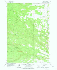
1962 Map of Friend
USGS Topo · Published 1978About this map
Friend serves as the primary settlement on the edge of the Mt Hood National Forest, where the landscape transitions from agricultural plateaus to the timbered canyons of the eastern Cascades. Field checked in 1962, this survey records a rural economy centered on the management of water and timber, evidenced by the Highland Ditch and numerous irrigation-related features. The map illustrates a complex network of forest access roads such as Jordan Creek Road and Douglas Cabin Road, which served both recreational and industrial purposes during the early 1960s.
Find a feature on this map
30 named features on this map. Tap any name to fly to it.
Don’t see what you’re looking for? This feature index may not catch every label — zoom into the map to look around manually.
Map Details
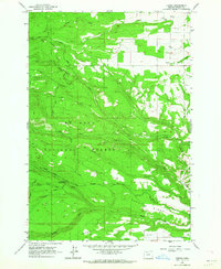
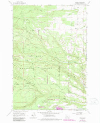
Editions of this 1962 Friend Map
3 editions found
Other maps of this area

1930 · Dufur
USGS Topo · 1:125,000

1934 · Dufur
USGS Topo · 1:125,000

1953 · The Dalles
USGS Topo · 1:250,000

1956 · The Dalles
USGS Topo · 1:250,000

1957 · The Dalles
USGS Topo · 1:250,000

1962 · Wolf Run
USGS Topo · 1:24,000

1962 · Rock Creek Reservoir
USGS Topo · 1:24,000

1962 · Postage Stamp Butte
USGS Topo · 1:24,000

1962 · Wamic
USGS Topo · 1:24,000
1962 · Tygh Valley
USGS Topo · 1:24,000