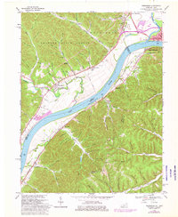
1968 Map of Friendship
USGS Topo · Published 1976About this map
Shawnee State Forest dominates the northwestern hills of this river-valley landscape, where the confluence of the Scioto River and Ohio River forms a major geographic anchor. This 1968 survey (photorevised in 1974) captures the industrial and agricultural interface along the riverbanks, notably around Portsmouth and South Portsmouth. The terrain is deeply incised by numerous hollows, such as Opossum Hollow and Whistling Jim Hollow, which reveal the complex drainage patterns feeding into Turkey Creek and Lick Run. Infrastructure for both rail and road transit is well-established, with the Chesapeake and Ohio railroad corridor tracking the southern bank. Local history is deeply embedded in the land through numerous small cemeteries and rural houses of worship, including the Stony Run Tabernacle and Kentucky Heights Church. The map also documents active land use through various Strip Mine sites and a Claypit, illustrating the region's reliance on mineral extraction alongside the settlement at Friendship.
Find a feature on this map
103 named features on this map. Tap any name to fly to it.
Don’t see what you’re looking for? This feature index may not catch every label — zoom into the map to look around manually.
Map Details
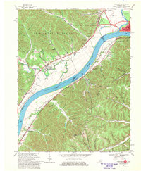
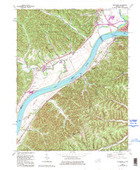
Editions of this 1968 Friendship Map
3 editions found
Other maps of this area

1911 · Sciotoville
USGS Topo · 1:62,500

1913 · Sciotoville
USGS Topo · 1:62,500

1915 · Garrison
USGS Topo · 1:62,500

1915 · Otway
USGS Topo · 1:62,500

1917 · Otway
USGS Topo · 1:62,500

1918 · Garrison
USGS Topo · 1:62,500

1926 · Greenup
USGS Topo · 1:48,000

1930 · Greenup
USGS Topo · 1:62,500

1949 · Pond Run
USGS Topo · 1:24,000

1949 · Garrison
USGS Topo · 1:24,000