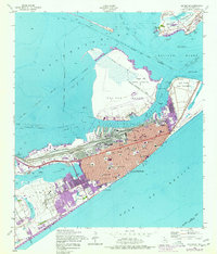
1954 Map of Galveston
USGS Topo · Published 1977About this map
Galveston stands as a vital coastal hub in the mid-1950s, defined by its complex harbor works and deep military and educational history. The map captures the city's grid south of the Strand, showing a dense network of civic and educational institutions such as the University of Texas Medical College and Ball High Sch. The industrial and maritime character of the island is evidenced by the massive rail infrastructure of the Southern Pacific (T & NO) and the Gulf Colorado and Santa Fe (AT & SF), which converge at the busy Galveston Channel.
Find a feature on this map
69 named features on this map. Tap any name to fly to it.
Don’t see what you’re looking for? This feature index may not catch every label — zoom into the map to look around manually.
Map Details
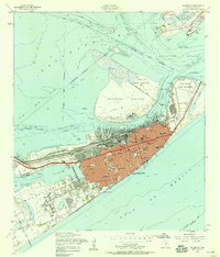
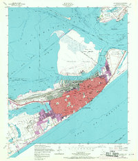
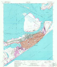
Editions of this 1954 Galveston Map
4 editions found
Other maps of this area

1929 · Virginia Point
USGS Topo · 1:24,000

1929 · Texas City
USGS Topo · 1:24,000

1930 · Galveston
USGS Topo · 1:24,000

1931 · Lake Como
USGS Topo · 1:24,000

1931 · Flake
USGS Topo · 1:24,000

1932 · Texas City
USGS Topo · 1:31,680

1932 · Bolivar Point
USGS Topo · 1:24,000

1932 · Virginia Point
USGS Topo · 1:31,680

1933 · The Jetties
USGS Topo · 1:31,680

1933 · Bolivar Point
USGS Topo · 1:31,680