
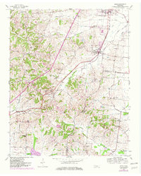
1952 Map of Gates
USGS Topo · Published 1953About this map
The town of Gates and the village of Halls anchor the eastern edge of this landscape, where the Illinois Central railroad serves as the primary transportation corridor through the Lauderdale and Haywood County borderlands. The terrain transition is sharp, moving from the flat creek valleys of the east into the dissected, wooded hills of the west, where Double Knob rises above the drainage of King Creek.
Find a feature on this map
34 named features on this map. Tap any name to fly to it.
Don’t see what you’re looking for? This feature index may not catch every label — zoom into the map to look around manually.
Map Details
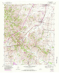
Editions of this 1952 Gates Map
3 editions found
Other maps of this area

1939 · Hales Point
USGS Topo · 1:62,500

1939 · Halls
USGS Topo · 1:62,500

1952 · Hales Point
USGS Topo · 1:62,500

1952 · Bonicord
USGS Topo · 1:24,000

1952 · Chestnut Bluff
USGS Topo · 1:24,000

1952 · Fowlkes
USGS Topo · 1:24,000

1956 · Blytheville
USGS Topo · 1:250,000

1959 · Blytheville
USGS Topo · 1:250,000

1961 · Hales Point
USGS Topo · 1:62,500

1961 · Rialto
USGS Topo · 1:62,500