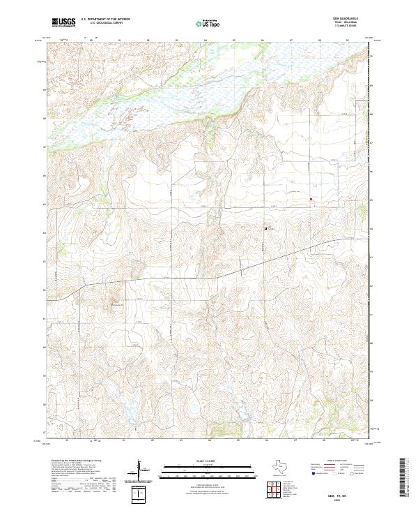
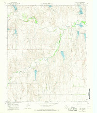
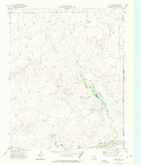
2022 Map of Gem
USGS Topo · Published 2022This historical map portrays the area of Gem in 2022, primarily covering Hemphill County as well as portions of Oklahoma. Featuring a scale of 1:24000, this map provides a highly detailed snapshot of the terrain, roads, buildings, counties, and historical landmarks in the Gem region at the time. Published in 2022, it is the sole known edition of this map.
Map Details
Editions of this 2022 Gem Map
This is the sole edition of this map. No revisions or reprints were ever made.
Historical Maps of Hemphill County Through Time
25 maps found
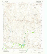
1967 Blue Ridge School
Hemphill County, TX
1967 Canadian SE
Hemphill County, TX
1967 Dads Creek
Hemphill County, TX
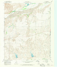
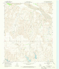
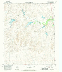
1967 Gem
Hemphill County, TX
1967 Hackberry Creek
Hemphill County, TX
1967 Lake June
Hemphill County, TX
1967 Mendota
Hemphill County, TX
1967 Young Ranch
Hemphill County, TX
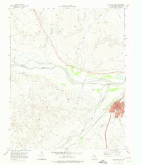
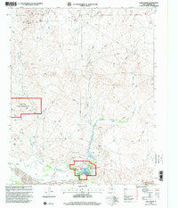
1972 Canadian East
Hemphill County, TX
1972 Canadian West
Hemphill County, TX
1972 Dreyfoos
Hemphill County, TX
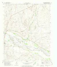
1972 Lake Marvin
Hemphill County, TX
1998 Lake Marvin
Hemphill County, TX
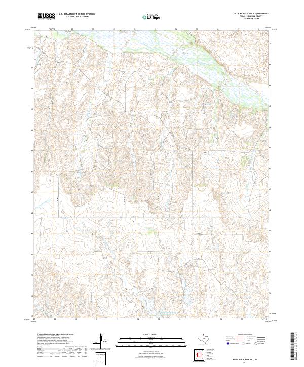
2022 Blue Ridge School
Hemphill County, TX
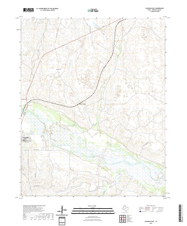
2022 Canadian East
Hemphill County, TX
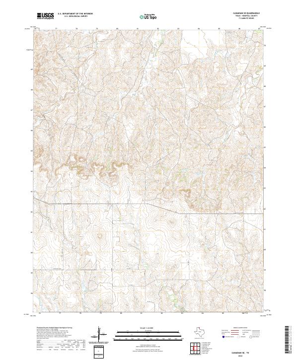
2022 Canadian SE
Hemphill County, TX
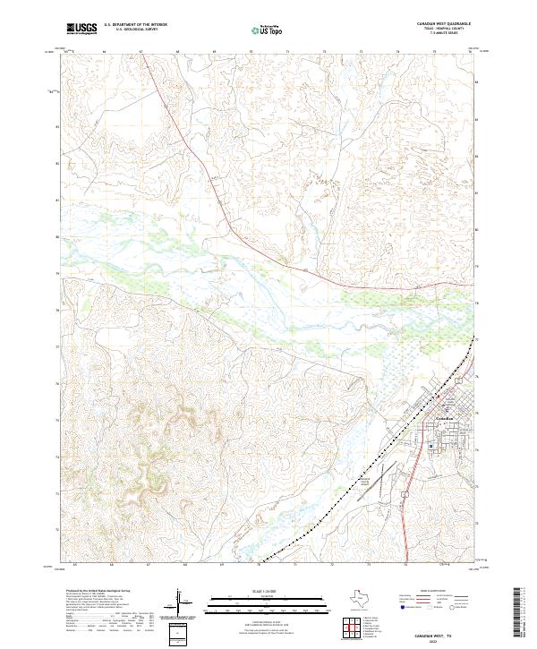
2022 Canadian West
Hemphill County, TX
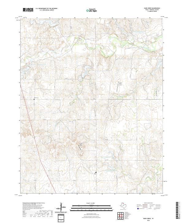
2022 Dads Creek
Hemphill County, TX
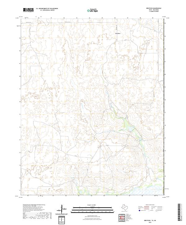
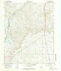
2022 Dreyfoos
Hemphill County, TX
2022 Gem
Hemphill County, TX
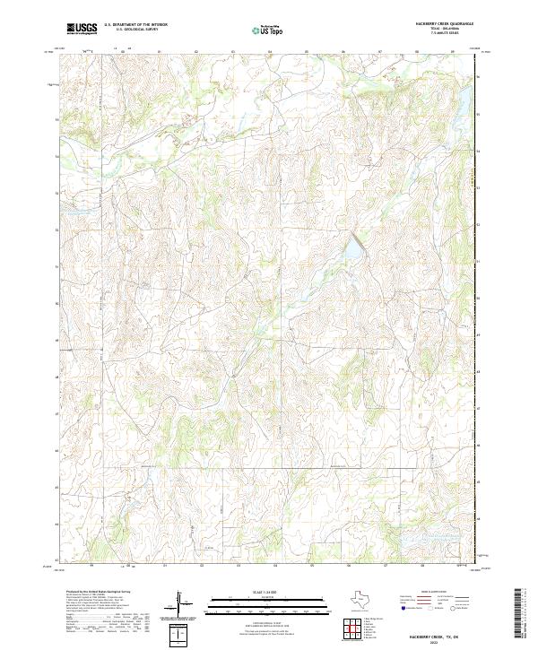
2022 Hackberry Creek
Hemphill County, TX
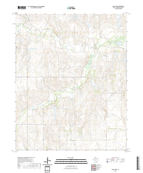
2022 Lake June
Hemphill County, TX
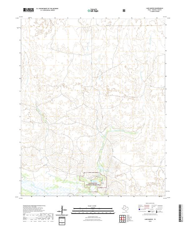
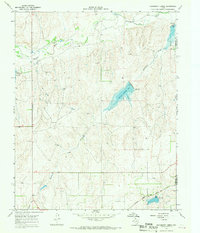
2022 Lake Marvin
Hemphill County, TX
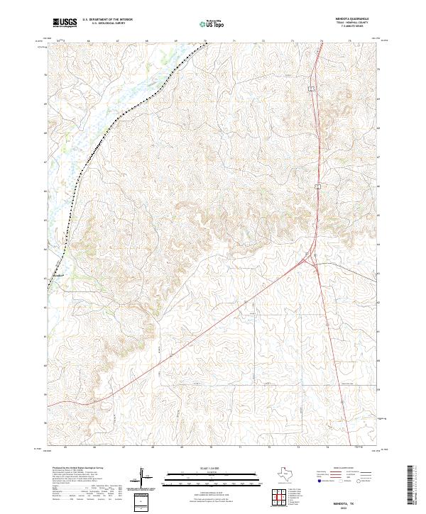
2022 Mendota
Hemphill County, TX
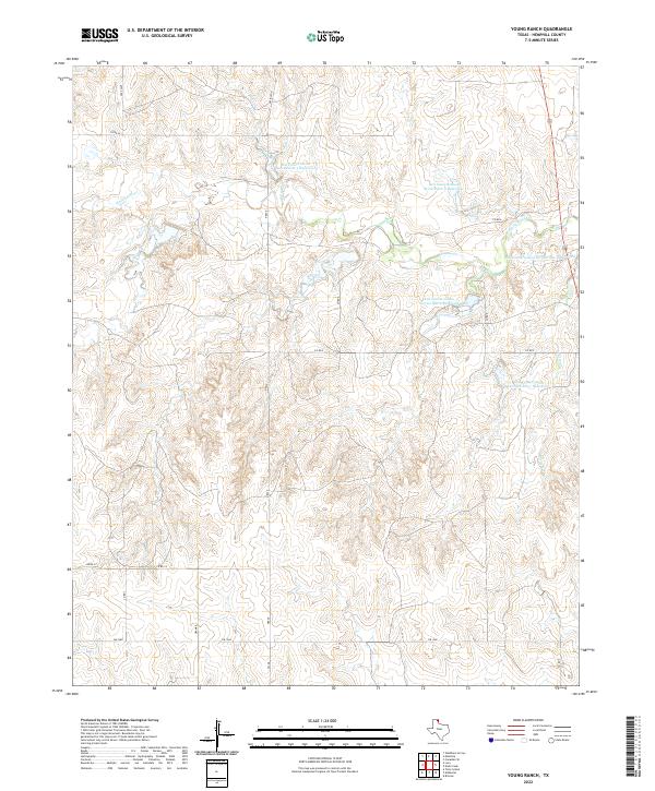
2022 Young Ranch
Hemphill County, TX