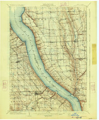
1902 Map of Genoa
USGS Topo · Published 1926About this map
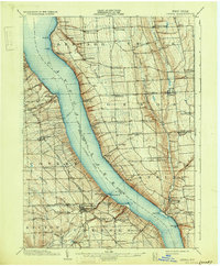
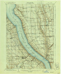
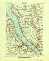
Cayuga Lake dominates the central landscape of this survey, acting as a natural boundary between the Finger Lakes counties. The map documents a transition in regional transportation, plotting the established steamboat route and a ferry crossing alongside the developing Lehigh Valley Railroad (Ithaca Branch) on the eastern shore. The density of late-Victorian settlements reflects the area's agricultural and academic importance, anchored by Wells College in the north and the village of Trumansburg to the south.
Find a feature on this map
58 named features on this map. Tap any name to fly to it.
Don’t see what you’re looking for? This feature index may not catch every label — zoom into the map to look around manually.
Map Details
Editions of this 1902 Genoa Map
8 editions found

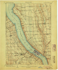
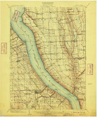
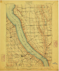
Other maps of this area

1893 · Ithaca
USGS Topo · 1:62,500

1895 · Ithaca
USGS Topo · 1:62,500

1898 · Moravia
USGS Topo · 1:62,500

1898 · Watkins Glen
USGS Topo · 1:62,500

1899 · Auburn
USGS Topo · 1:62,500

1899 · Skaneateles
USGS Topo · 1:62,500

1900 · Dryden
USGS Topo · 1:62,500

1901 · Watkins
USGS Topo · 1:62,500

1902 · Skaneateles
USGS Topo · 1:62,500

1902 · Geneva
USGS Topo · 1:62,500