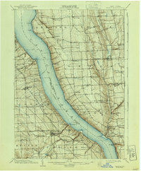
1902 Map of Genoa
USGS Topo · Published 1940About this map
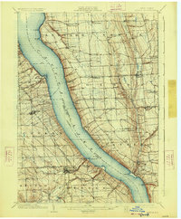
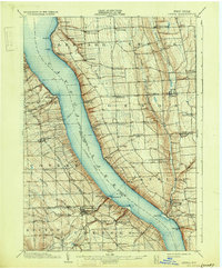
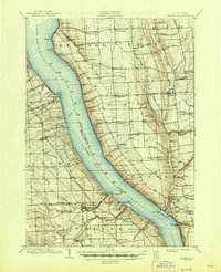
Cayuga Lake dominates this central New York landscape, serving as a primary corridor for the documented Steamboat Route and the heavy rail traffic of the Lehigh Valley Railroad. The topography reveals the steep, deeply incised ravines characteristic of the Finger Lakes region, particularly where Taughannock Creek and Salmon Creek descend to the water's edge.
Find a feature on this map
68 named features on this map. Tap any name to fly to it.
Don’t see what you’re looking for? This feature index may not catch every label — zoom into the map to look around manually.
Map Details
Editions of this 1902 Genoa Map
8 editions found

Other maps of this area

1893 · Ithaca
USGS Topo · 1:62,500

1895 · Ithaca
USGS Topo · 1:62,500

1898 · Moravia
USGS Topo · 1:62,500

1898 · Watkins Glen
USGS Topo · 1:62,500

1899 · Auburn
USGS Topo · 1:62,500

1899 · Skaneateles
USGS Topo · 1:62,500

1900 · Dryden
USGS Topo · 1:62,500

1901 · Watkins
USGS Topo · 1:62,500

1902 · Skaneateles
USGS Topo · 1:62,500

1902 · Geneva
USGS Topo · 1:62,500