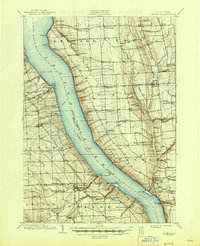
1902 Map of Genoa
USGS Topo · Published 1945About this map
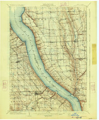
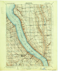
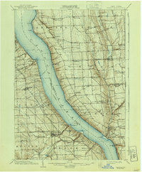
Cayuga Lake dominates this Finger Lakes landscape, serving as a primary corridor for travel and trade at the turn of the century. The map traces the long-established Steamboat Route bisecting the water, connecting shoreside points like Kidders and Frontenac Pt. with inland agricultural hubs. On the western ridge, the Lehigh Valley Railroad runs through the busy village of Trumansburg and north toward Interlaken, while the eastern side is defined by the steep ravines of Salmon Creek and Paine Creek.
Find a feature on this map
66 named features on this map. Tap any name to fly to it.
Don’t see what you’re looking for? This feature index may not catch every label — zoom into the map to look around manually.
Map Details
Editions of this 1902 Genoa Map
8 editions found

Other maps of this area

1893 · Ithaca
USGS Topo · 1:62,500

1895 · Ithaca
USGS Topo · 1:62,500

1898 · Moravia
USGS Topo · 1:62,500

1898 · Watkins Glen
USGS Topo · 1:62,500

1899 · Auburn
USGS Topo · 1:62,500

1899 · Skaneateles
USGS Topo · 1:62,500

1900 · Dryden
USGS Topo · 1:62,500

1901 · Watkins
USGS Topo · 1:62,500

1902 · Skaneateles
USGS Topo · 1:62,500

1902 · Geneva
USGS Topo · 1:62,500