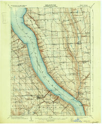
1902 Map of Genoa
USGS Topo · Published 1931About this map
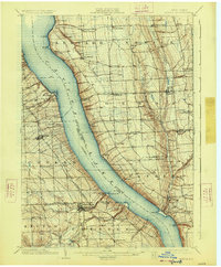
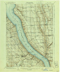
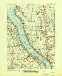
Cayuga Lake dominates this landscape, serving as a primary transportation artery through a busy late nineteenth-century agricultural corridor. The map details a sophisticated transit network where the Steamboat Route and a Ferry crossing near Kidders intersect with the terrestrial reach of the Lehigh Valley Railroad (Ithaca Branch). On the western shore, settlements like Interlaken and Trumansburg are established rail stops, while the eastern heights are punctuated by hamlets such as Ledyard, King Ferry, and Genoa. Along the northern shore, Wells College overlooks the water at Aurora. The topography is defined by the deep incisions of watercourses into the plateau, most notably at the spectacular Taughannic Falls, which drops toward the lake near Frontenac Pt. Numerous smaller landings and points, including Willets, Atwaters, and Myers Pt., illustrate the era's reliance on both rail and water for local commerce.
Find a feature on this map
64 named features on this map. Tap any name to fly to it.
Don’t see what you’re looking for? This feature index may not catch every label — zoom into the map to look around manually.
Map Details
Editions of this 1902 Genoa Map
8 editions found

Other maps of this area

1893 · Ithaca
USGS Topo · 1:62,500

1895 · Ithaca
USGS Topo · 1:62,500

1898 · Moravia
USGS Topo · 1:62,500

1898 · Watkins Glen
USGS Topo · 1:62,500

1899 · Auburn
USGS Topo · 1:62,500

1899 · Skaneateles
USGS Topo · 1:62,500

1900 · Dryden
USGS Topo · 1:62,500

1901 · Watkins
USGS Topo · 1:62,500

1902 · Skaneateles
USGS Topo · 1:62,500

1902 · Geneva
USGS Topo · 1:62,500