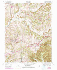
1966 Map of Georgetown
USGS Topo · Published 1990About this map
The community of Georgetown serves as a central hub in this western Floyd County landscape, situated along the Southern railway line. To the east, the terrain rises toward the prominent heights of Floyds Knobs, while the small settlements of Galena and Greenville anchor the northern reaches. This 1966 topographic study, later updated with purple revisions, documents a transitional era as modern infrastructure began to intersect with established rural hamlets. New highway developments like Interchange 119 and Interchange 117 appear alongside historic routes like Old Vincennes Road. Family and community history is well-preserved through numerous landmarks, including Mt St Francis Seminary, the Galena Sch, and several burial grounds such as Pattonstown Cem and Greenville Cem. The map reveals a deeply etched drainage system where Little Indian Creek and Middle Fork Indian Creek carve through numerous ridges, including Slippery Ridge and Keith Ridge.
Find a feature on this map
64 named features on this map. Tap any name to fly to it.
Don’t see what you’re looking for? This feature index may not catch every label — zoom into the map to look around manually.
Map Details
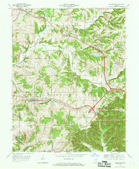
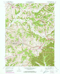
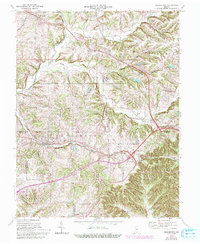
Editions of this 1966 Georgetown Map
4 editions found
Other maps of this area

1909 · Kosmosdale
USGS Topo · 1:48,000

1912 · Kosmosdale
USGS Topo · 1:62,500

1931 · Corydon
USGS Topo · 1:62,500

1938 · Speed
USGS Topo · 1:24,000

1939 · New Albany
USGS Topo · 1:24,000

1939 · Georgetown
USGS Topo · 1:24,000

1941 · Borden
USGS Topo · 1:24,000

1946 · New Albany
USGS Topo · 1:24,000

1947 · Speed
USGS Topo · 1:24,000

1947 · Georgetown
USGS Topo · 1:24,000