
1893 Map of Georgetown
USGS Topo · Published 1893About this map
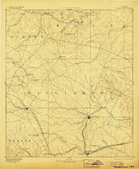
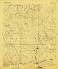
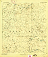
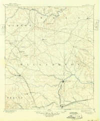
Georgetown sits at the confluence of the North Fork San Gabriel River and the South Fork, serving as a central hub in the late nineteenth-century Texas Hill Country. The landscape is defined by the transition from the upland limestone plateaus of Burnet County to the blackland prairies of Williamson County. Early settlement patterns are tied closely to the water, with towns like Gabriel Mills and Liberty Hill established along the tributaries of the San Gabriel.
Find a feature on this map
47 named features on this map. Tap any name to fly to it.
Don’t see what you’re looking for? This feature index may not catch every label — zoom into the map to look around manually.
Map Details
Editions of this 1893 Georgetown Map
5 editions found
Other maps of this area

1885 · Taylor
USGS Topo · 1:125,000

1885 · Bastrop
USGS Topo · 1:125,000

1887 · Taylor
USGS Topo · 1:125,000

1887 · Lampasas
USGS Topo · 1:125,000

1887 · Blanco
USGS Topo · 1:125,000

1887 · Burnet
USGS Topo · 1:125,000

1892 · Temple
USGS Topo · 1:125,000

1893 · Burnet
USGS Topo · 1:125,000

1893 · Bastrop
USGS Topo · 1:125,000

1894 · Lampasas
USGS Topo · 1:125,000