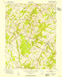
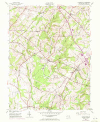
1953 Map of Germantown
USGS Topo · Published 1954About this map
Boyds and Germantown anchor this mid-century survey of upper Montgomery County, where the Baltimore and Ohio railroad cuts through a landscape defined by rolling agricultural tracts and the deep valleys of Great Seneca Creek. The map documents a rural society in transition, showing established crossroads like Clarksburg and Dawsonville before the intensive suburban expansion of later decades. A significant engineering detail is the Lake Under Construction on Little Seneca Creek, capturing the precise moment this landmark water feature was being formed. Local history is deeply embedded in the rural infrastructure, from the Taylor Sch and Asbury Ch to the remnants of earlier industry found at Seneca Mill and Blackrock Mill. Several small hamlets such as Burdette, Blocktown, and Slidell are clearly marked along the winding network of county roads.
Find a feature on this map
49 named features on this map. Tap any name to fly to it.
Don’t see what you’re looking for? This feature index may not catch every label — zoom into the map to look around manually.
Map Details
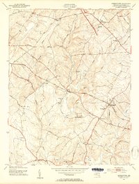
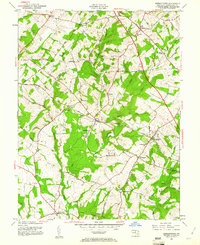
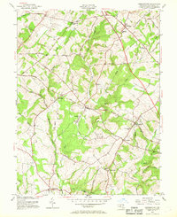
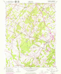
Editions of this 1953 Germantown Map
6 editions found
Other maps of this area

1893 · Frederick
USGS Topo · 1:125,000

1894 · Frederick
USGS Topo · 1:125,000

1908 · Rockville
USGS Topo · 1:62,500

1908 · Seneca
USGS Topo · 1:62,500

1908 · Ijamsville
USGS Topo · 1:62,500

1909 · Mount Airy
USGS Topo · 1:62,500

1909 · Ijamsville
USGS Topo · 1:62,500

1923 · Rockville
USGS Topo · 1:62,500

1942 · Frederick
USGS Topo · 1:62,500

1944 · Germantown
USGS Topo · 1:31,680