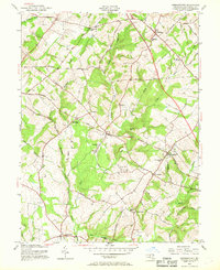
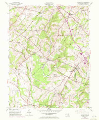
1953 Map of Germantown
USGS Topo · Published 1969About this map
The Baltimore and Ohio Railroad provides the industrial and economic spine for this portion of Montgomery County, connecting the rural depots of Boyds and Germantown. This survey, revised in the early 1950s, documents a landscape of traditional crossroads and developing transit routes, from the quiet settlement of Old Germantown to the northern hub of Clarksburg. Many of these communities are anchored by local institutions such as John Wesley Ch and Taylor Sch.
Find a feature on this map
41 named features on this map. Tap any name to fly to it.
Don’t see what you’re looking for? This feature index may not catch every label — zoom into the map to look around manually.
Map Details
Editions of this 1953 Germantown Map
6 editions found
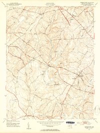
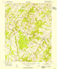
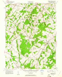
Other maps of this area

1893 · Frederick
USGS Topo · 1:125,000

1894 · Frederick
USGS Topo · 1:125,000

1908 · Rockville
USGS Topo · 1:62,500

1908 · Seneca
USGS Topo · 1:62,500

1908 · Ijamsville
USGS Topo · 1:62,500

1909 · Mount Airy
USGS Topo · 1:62,500

1909 · Ijamsville
USGS Topo · 1:62,500

1923 · Rockville
USGS Topo · 1:62,500

1942 · Frederick
USGS Topo · 1:62,500

1944 · Germantown
USGS Topo · 1:31,680