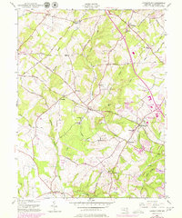
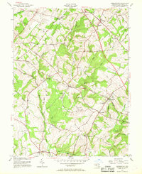
1953 Map of Germantown
USGS Topo · Published 1979About this map
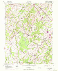
Baltimore and Ohio Railroad tracks bisect this portion of Montgomery County, anchoring the development of early rail communities like Boyds and Germantown. While the main hubs show emerging suburban footprints, the surrounding landscape remains deeply rural, defined by historical farm-to-market routes like Old Baltimore Road and Whites Ferry Road. Along the banks of Great Seneca Creek, the site of Blackrock Mill stands as a reminder of the area's milling history, while several country churches and schools—including Shiloh Church, St Marks Ch, and Taylor Sch—point to the centers of local social life in the mid-20th century. Notable institutional expansion is evident near the rail line at the Energy Res and Devel Admin complex. The map provides a detailed view of the transition between established villages like Clarksburg and the rural crossroads of Slidell and Burdette.
Find a feature on this map
52 named features on this map. Tap any name to fly to it.
Don’t see what you’re looking for? This feature index may not catch every label — zoom into the map to look around manually.
Map Details
Editions of this 1953 Germantown Map
6 editions found
Other maps of this area

1893 · Frederick
USGS Topo · 1:125,000

1894 · Frederick
USGS Topo · 1:125,000

1908 · Rockville
USGS Topo · 1:62,500

1908 · Seneca
USGS Topo · 1:62,500

1908 · Ijamsville
USGS Topo · 1:62,500

1909 · Mount Airy
USGS Topo · 1:62,500

1909 · Ijamsville
USGS Topo · 1:62,500

1923 · Rockville
USGS Topo · 1:62,500

1942 · Frederick
USGS Topo · 1:62,500

1944 · Germantown
USGS Topo · 1:31,680