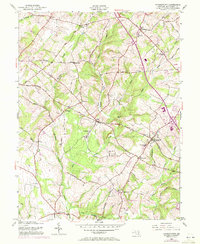
1953 Map of Germantown
USGS Topo · Published 1972About this map
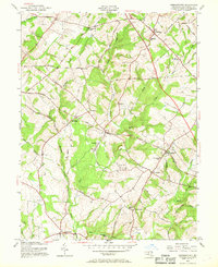
Little Seneca Creek and its many tributaries, including Tenmile Creek and Bucklodge Branch, carve a complex drainage pattern across this Montgomery County landscape. The Baltimore and Ohio Railroad serves as a primary corridor, connecting established hubs like Boyds and Germantown. This survey, revised with early 1970s updates, captures the transition of rural hamlets into more developed communities while preserving the locations of 19th-century infrastructure.
Find a feature on this map
47 named features on this map. Tap any name to fly to it.
Don’t see what you’re looking for? This feature index may not catch every label — zoom into the map to look around manually.
Map Details
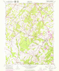
Editions of this 1953 Germantown Map
6 editions found
Other maps of this area

1893 · Frederick
USGS Topo · 1:125,000

1894 · Frederick
USGS Topo · 1:125,000

1908 · Rockville
USGS Topo · 1:62,500

1908 · Seneca
USGS Topo · 1:62,500

1908 · Ijamsville
USGS Topo · 1:62,500

1909 · Mount Airy
USGS Topo · 1:62,500

1909 · Ijamsville
USGS Topo · 1:62,500

1923 · Rockville
USGS Topo · 1:62,500

1942 · Frederick
USGS Topo · 1:62,500

1944 · Germantown
USGS Topo · 1:31,680