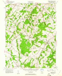
1953 Map of Germantown
USGS Topo · Published 1961About this map
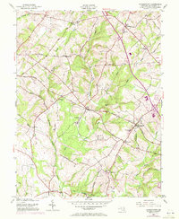
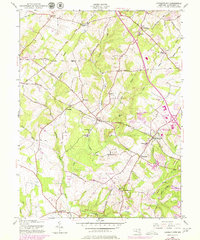
Germantown and its rural Montgomery County surroundings are defined by the corridor of the Baltimore and Ohio Railroad as it stood in the early 1950s. The landscape reflects a transition from traditional crossroads hamlets to a growing suburban fringe, with Old Germantown and Boyds serving as established focal points along the rail line. Evidence of early industry and community life remains visible through landmarks like the Blackrock Mill on Great Seneca Creek and several small rural education and worship centers, including the Taylor Sch, Clarksburg Sch, and St Marks Ch. The mapping of the Washington National Pike signals the modernization of transport in the region, cutting through a landscape of creek valleys like Tenmile Creek and Little Seneca Creek. Small settlements such as Dawsonville, Clarksburg, and Slidell represent the dispersed residential patterns before later intensive development altered the local topography.
Find a feature on this map
46 named features on this map. Tap any name to fly to it.
Don’t see what you’re looking for? This feature index may not catch every label — zoom into the map to look around manually.
Map Details
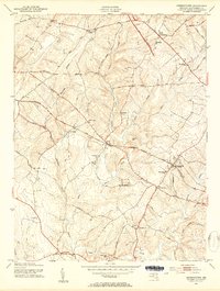
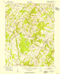
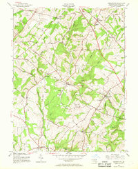
Editions of this 1953 Germantown Map
6 editions found
Other maps of this area

1893 · Frederick
USGS Topo · 1:125,000

1894 · Frederick
USGS Topo · 1:125,000

1908 · Rockville
USGS Topo · 1:62,500

1908 · Seneca
USGS Topo · 1:62,500

1908 · Ijamsville
USGS Topo · 1:62,500

1909 · Mount Airy
USGS Topo · 1:62,500

1909 · Ijamsville
USGS Topo · 1:62,500

1923 · Rockville
USGS Topo · 1:62,500

1942 · Frederick
USGS Topo · 1:62,500

1944 · Germantown
USGS Topo · 1:31,680