
1900 Map of Girard
USGS Topo · Published 1900About this map
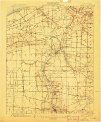
Lake Erie defines the northern reaches of this turn-of-the-century landscape, where the shoreline meets a dense network of industrial transport and agrarian settlements. In 1900, the region was a critical corridor for major rail lines, including the Lake Shore and Michigan Southern RR and the Pittsburg Bessemer and Lake Erie RR, which facilitated movement between the Great Lakes and the interior. Notable junctions such as Thornton Junction and Springboro Sta highlight the era's reliance on rail connectivity for both passengers and freight.
Find a feature on this map
69 named features on this map. Tap any name to fly to it.
Don’t see what you’re looking for? This feature index may not catch every label — zoom into the map to look around manually.
Map Details
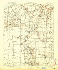
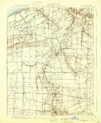
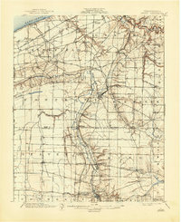
Editions of this 1900 Girard Map
5 editions found
Other maps of this area

1899 · Erie
USGS Topo · 1:62,500

1900 · Erie
USGS Topo · 1:62,500

1900 · Fairview
USGS Topo · 1:62,500

1905 · Andover
USGS Topo · 1:48,000

1906 · Conneaut
USGS Topo · 1:62,500

1906 · Linesville
USGS Topo · 1:62,500

1907 · Andover
USGS Topo · 1:62,500

1908 · Linesville
USGS Topo · 1:62,500

1923 · Meadville
USGS Topo · 1:62,500

1923 · Cambridge Springs
USGS Topo · 1:62,500