
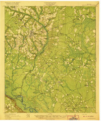
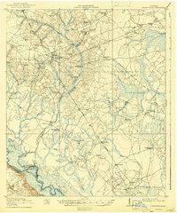
1920 Map of Glennville
USGS Topo · Published 1920About this map
Glennville sits at the nexus of a dense network of early roads and rail lines, including the Georgia Coast and Northern RR and the Savannah and Southern RR. This post-WWI era survey documents a landscape defined by its rural education system and the transition from river-based transport to regional rail. The southern border follows the winding Altamaha River, featuring landmarks like Beards Bluff and Strickland Bight, while the interior is dotted with numerous local institutions such as Macedonia School, Howard Chapel School, and Persimmon Grove School.
Find a feature on this map
70 named features on this map. Tap any name to fly to it.
Don’t see what you’re looking for? This feature index may not catch every label — zoom into the map to look around manually.
Map Details
Editions of this 1920 Glennville Map
3 editions found
Other maps of this area

1918 · Jesup
USGS Topo · 1:62,500

1918 · Hinesville
USGS Topo · 1:62,500

1919 · Claxton
USGS Topo · 1:62,500

1920 · Pembroke
USGS Topo · 1:62,500

1943 · Ludowici
USGS Topo · 1:62,500

1943 · Jesup
USGS Topo · 1:62,500

1944 · Claxton
USGS Topo · 1:62,500

1944 · Glennville
USGS Topo · 1:62,500

1944 · Hinesville
USGS Topo · 1:62,500

1946 · Brunswick
USGS Topo · 1:250,000