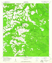
1958 Map of Glissons Millpond
USGS Topo · Published 1961About this map
The Fort Stewart Military Reservation dominates this landscape along the border of Evans and Tattnall counties in the late 1950s. The terrain is defined by the winding course of the Canoochee River and its tributaries, where several small impoundments like Glissons Millpond, Tippins Lake, and Durrence Pond suggest a history of local water management and recreation. For genealogists, the presence of family-named landmarks and resting places like Barnard Cem, Sand Hill Cem, and the Antioch Sch Cem provides vital connections to the rural families who inhabited the area before and during the expansion of military grounds.
Find a feature on this map
23 named features on this map. Tap any name to fly to it.
Don’t see what you’re looking for? This feature index may not catch every label — zoom into the map to look around manually.
Map Details
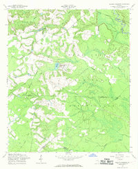
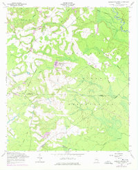
Editions of this 1958 Glissons Millpond Map
Other maps of this area

1918 · Hinesville
USGS Topo · 1:62,500

1919 · Claxton
USGS Topo · 1:62,500

1920 · Pembroke
USGS Topo · 1:62,500

1920 · Glennville
USGS Topo · 1:62,500

1944 · Claxton
USGS Topo · 1:62,500

1944 · Glennville
USGS Topo · 1:62,500

1944 · Hinesville
USGS Topo · 1:62,500

1946 · Brunswick
USGS Topo · 1:250,000

1947 · Savannah
USGS Topo · 1:250,000

1948 · Brunswick
USGS Topo · 1:250,000