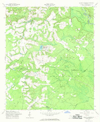
1958 Map of Glissons Millpond
USGS Topo · Published 1969About this map
Fort Stewart Military Reservation dominates this 1950s landscape, illustrating a transition from rural Georgia homesteads to expansive military grounds. The map preserves the traces of earlier land use through family-named landmarks like Barnard Cem and Durrence Pond, alongside the educational footprint of Antioch Sch. Water defines the geography, with the Canoochee River and Little Bull Creek flowing through the territory. An Old Railroad Grade and the presence of Camp Oliver signify the industrial and military infrastructure that reshaped Evans and Tattnall counties during the mid-century. Researchers can trace historical property lines and drainage patterns around Glissons Millpond and Tippins Lake, which provided local water resources before the consolidation of the reservation.
Find a feature on this map
21 named features on this map. Tap any name to fly to it.
Don’t see what you’re looking for? This feature index may not catch every label — zoom into the map to look around manually.
Map Details
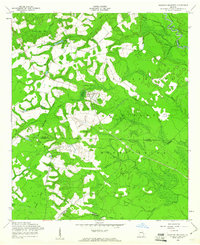
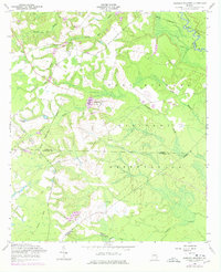
Editions of this 1958 Glissons Millpond Map
Other maps of this area

1918 · Hinesville
USGS Topo · 1:62,500

1919 · Claxton
USGS Topo · 1:62,500

1920 · Pembroke
USGS Topo · 1:62,500

1920 · Glennville
USGS Topo · 1:62,500

1944 · Claxton
USGS Topo · 1:62,500

1944 · Glennville
USGS Topo · 1:62,500

1944 · Hinesville
USGS Topo · 1:62,500

1946 · Brunswick
USGS Topo · 1:250,000

1947 · Savannah
USGS Topo · 1:250,000

1948 · Brunswick
USGS Topo · 1:250,000