2023 Map of Grand Haven OE W
USGS Topo · Published 2023About this map
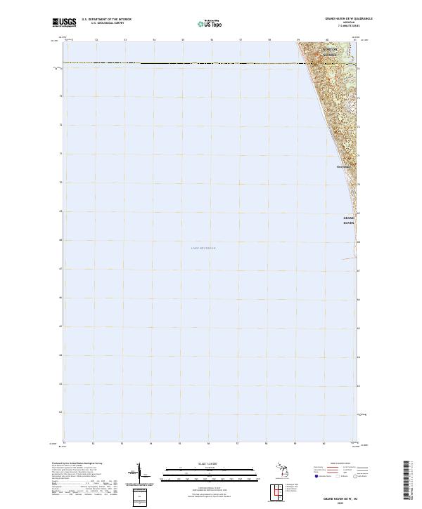
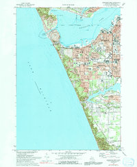
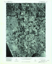
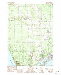
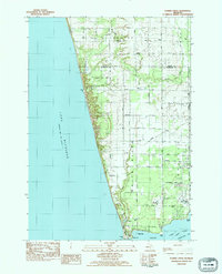
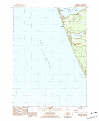
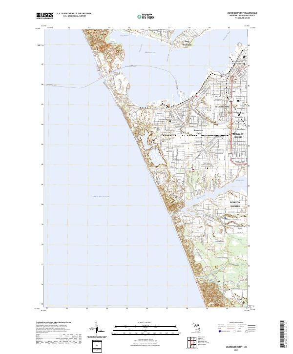
Lake Michigan dominates this coastal survey, where the deep waters of the Great Lakes meet the shifting dunes of the Michigan shoreline. The map documents the boundary between Muskegon and Ottawa counties as it cuts through the developing residential and recreation corridors north of the Grand River mouth. Along the waterfront, the P J Hoffmaster State Park Nature Center Trail winds through the topography, reflecting the area's significance as a protected natural landscape amidst the suburban expansion of Norton Shores and Ferrysburg. Local transit patterns are visible through the layout of Black Lake Rd and N Shore Dr, which serve properties near the small inland basin of Little Black Lake. This record of the coastline shows how modern neighborhoods like Grand Haven have integrated into the specialized terrain of the lakefront.
Find a feature on this map
18 named features on this map. Tap any name to fly to it.
Don’t see what you’re looking for? This feature index may not catch every label — zoom into the map to look around manually.
Map Details
Editions of this 2023 Grand Haven OE W Map
This is the sole edition of this map. No revisions or reprints were ever made.
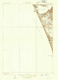
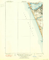
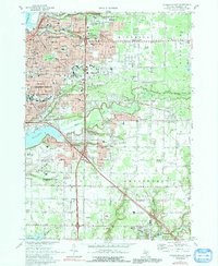
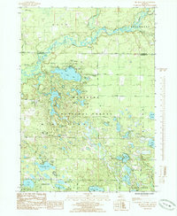
Historical Maps of Norton Shores Through Time
27 maps found
1930 Lake Harbor
Muskegon County, MI
1936 Lake Harbor
Muskegon County, MI
1972 Muskegon East
Muskegon County, MI
1972 Muskegon West
Muskegon County, MI
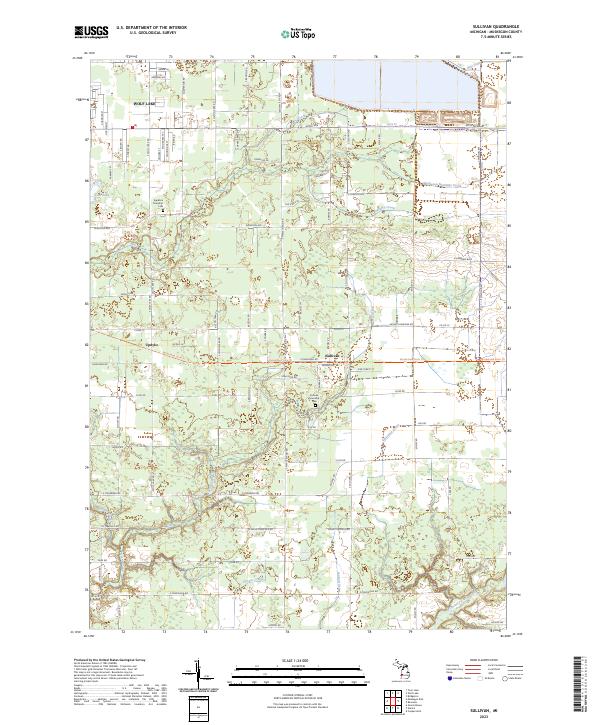
1972 Sullivan
Muskegon County, MI
1976 Montague NE
Muskegon County, MI
1976 Montague NW
Muskegon County, MI
1976 Montague SE
Muskegon County, MI
1976 Montague SW
Muskegon County, MI

1976 Twin Lake NE
Muskegon County, MI

1976 Twin Lake NW
Muskegon County, MI

1976 Twin Lake SE
Muskegon County, MI

1976 Twin Lake SW
Muskegon County, MI
1983 Dalton
Muskegon County, MI
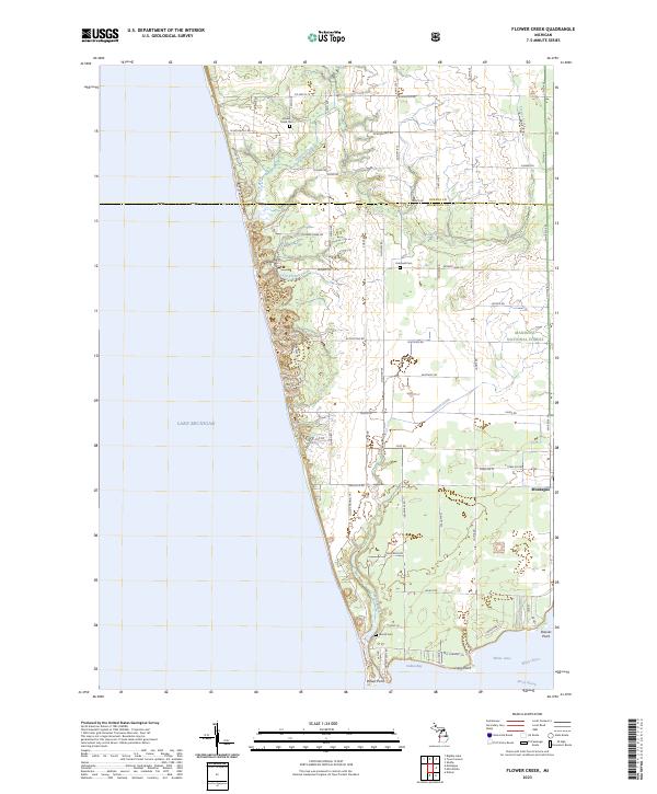
1983 Flower Creek
Muskegon County, MI
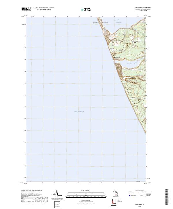
1983 Michillinda
Muskegon County, MI
1985 Big Blue Lake
Muskegon County, MI

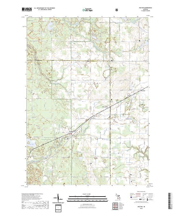
1985 Holton
Muskegon County, MI
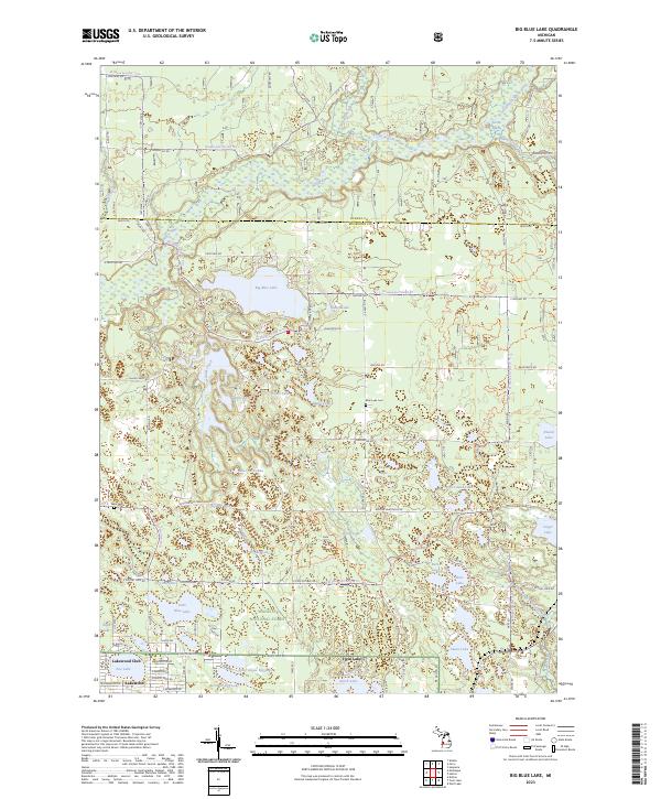
2023 Big Blue Lake
Muskegon County, MI
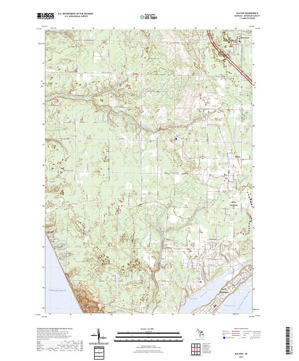
2023 Dalton
Muskegon County, MI
2023 Flower Creek
Muskegon County, MI
2023 Grand Haven OE W
Muskegon County, MI
2023 Holton
Muskegon County, MI
2023 Michillinda
Muskegon County, MI
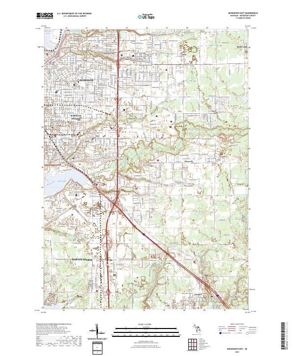
2023 Muskegon East
Muskegon County, MI
2023 Muskegon West
Muskegon County, MI
2023 Sullivan
Muskegon County, MI