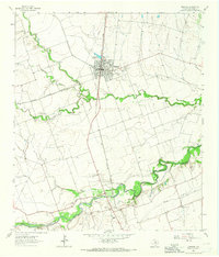
1964 Map of Granger
USGS Topo · Published 1966About this map
The Missouri Kansas Texas railroad serves as the central spine of this landscape, anchoring the town of Granger where it intersects with a local Railroad Reservoir. This mid-century survey captures a rural Texas community defined by its numerous small burial grounds and blackland farming heritage. The town's social fabric is evidenced by the Crispus Attucks Sch and several denominational resting places like Holy Cross Cem and Calvary Cem.
Find a feature on this map
29 named features on this map. Tap any name to fly to it.
Don’t see what you’re looking for? This feature index may not catch every label — zoom into the map to look around manually.
Map Details
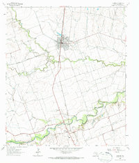
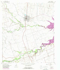
Editions of this 1964 Granger Map
3 editions found
Other maps of this area

1885 · Taylor
USGS Topo · 1:125,000

1887 · Taylor
USGS Topo · 1:125,000

1893 · Georgetown
USGS Topo · 1:125,000

1894 · Taylor
USGS Topo · 1:125,000

1925 · Georgetown 4-d
USGS Topo · 1:48,000

1928 · Round Rock
USGS Topo · 1:62,500

1949 · Round Rock
USGS Topo · 1:62,500

1951 · Round Rock
USGS Topo · 1:62,500

1954 · Austin
USGS Topo · 1:250,000

1963 · Friendship
USGS Topo · 1:24,000