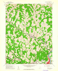
1960 Map of Grant Town
USGS Topo · Published 1961About this map
Paw Paw and Lincoln districts define this industrial and agricultural landscape in northern West Virginia during the early 1960s. The coal and gas industry is deeply integrated into the terrain, evidenced by numerous Gas Wells and a prominent Mine Dump just outside Grant Town. The infrastructure of the era is marked by the Baltimore and Ohio railroad corridor and a sprawling network of pipelines.
Find a feature on this map
83 named features on this map. Tap any name to fly to it.
Don’t see what you’re looking for? This feature index may not catch every label — zoom into the map to look around manually.
Map Details
Editions of this 1960 Grant Town Map
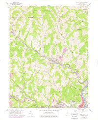
2 editions found
Other maps of this area

1902 · Clarksburg
USGS Topo · 1:62,500

1902 · Fairmont
USGS Topo · 1:62,500

1904 · Blacksville
USGS Topo · 1:62,500

1905 · Mannington
USGS Topo · 1:62,500

1910 · Clarksburg
USGS Topo · 1:62,500

1923 · Blacksville
USGS Topo · 1:62,500

1923 · Fairmont
USGS Topo · 1:62,500

1923 · Mannington
USGS Topo · 1:62,500

1923 · Clarksburg
USGS Topo · 1:62,500

1925 · Blacksville
USGS Topo · 1:62,500