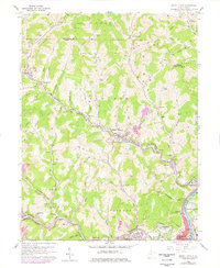
1960 Map of Grant Town
USGS Topo · Published 1978About this map
The Monongahela River corridor and its industrial landscape dominate this 1960s study, showcasing the heavy rail and mining infrastructure of Marion County. The settlement of Grant Town is centered near a significant Mine Dump and Conveyor, illustrating the area's deep connection to coal extraction. This industrial activity is supported by a dense network of transportation, including the Baltimore and Ohio and Chesapeake and Ohio railroads that snake through the valleys alongside Buffalo Creek and Paw Paw Creek.
Find a feature on this map
86 named features on this map. Tap any name to fly to it.
Don’t see what you’re looking for? This feature index may not catch every label — zoom into the map to look around manually.
Map Details
Editions of this 1960 Grant Town Map
2 editions found
Other maps of this area

1902 · Clarksburg
USGS Topo · 1:62,500

1902 · Fairmont
USGS Topo · 1:62,500

1904 · Blacksville
USGS Topo · 1:62,500

1905 · Mannington
USGS Topo · 1:62,500

1910 · Clarksburg
USGS Topo · 1:62,500

1923 · Blacksville
USGS Topo · 1:62,500

1923 · Fairmont
USGS Topo · 1:62,500

1923 · Mannington
USGS Topo · 1:62,500

1923 · Clarksburg
USGS Topo · 1:62,500

1925 · Blacksville
USGS Topo · 1:62,500