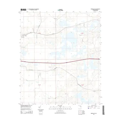
2015 Map of Greenville NE
USGS Topo · Published 2015About this map
Greenville serves as the primary hub for this Madison County landscape, where transportation routes and water systems define the layout of the Florida Panhandle. The western edge of the map features established landmarks like Evergreen Cem and SW Grand St, which ground the local community's historical geography. Moving eastward, the terrain opens into a series of distinctive water bodies, including Indian Lake and the significant Sampala Lake, which are interconnected by drainages such as Sundown Cr. The infrastructure is characterized by a mix of major arteries like W Us 90 and local rural paths like SW Sundown Creek Rd, indicating a balance between regional connectivity and private agricultural use. Aviation history is represented by Pratt Airport, while smaller family-named landmarks like Oakland Cem provide essential data points for local researchers and genealogists tracking land use patterns in this part of Florida.
Find a feature on this map
27 named features on this map. Tap any name to fly to it.
Don’t see what you’re looking for? This feature index may not catch every label — zoom into the map to look around manually.
Map Details
Editions of this 2015 Greenville NE Map
This is the sole edition of this map. No revisions or reprints were ever made.
Other maps of this area

1954 · Greenville
USGS Topo · 1:24,000

1954 · Greenville NE
USGS Topo · 1:24,000

1954 · Valdosta
USGS Topo · 1:250,000

1955 · Shady Grove
USGS Topo · 1:24,000

1955 · Greenville SE
USGS Topo · 1:24,000

1958 · Valdosta
USGS Topo · 1:250,000

1958 · Madison SW
USGS Topo · 1:24,000

1959 · Valdosta
USGS Topo · 1:250,000

1959 · Madison
USGS Topo · 1:24,000

1960 · Cherry Lake
USGS Topo · 1:24,000