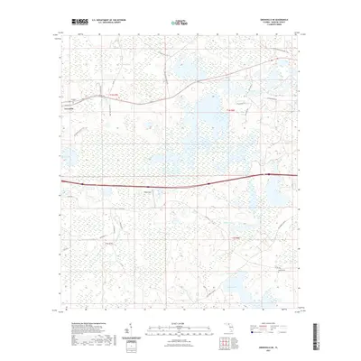
2021 Map of Greenville NE
USGS Topo · Published 2021About this map
The town of Greenville sits on the western edge of this Madison County landscape, where the flatwoods terrain is defined by an extensive network of wetlands and seasonal drainages. Much of the northern half of the map is dominated by the sprawling Hixtown Swamp, while the southern reaches are shaped by the Sampala Swamp and Sampala Lake. This environment influenced early settlement patterns and the placement of infrastructure, such as the Pratt Airport positioned on higher ground near the map's center.
Find a feature on this map
32 named features on this map. Tap any name to fly to it.
Don’t see what you’re looking for? This feature index may not catch every label — zoom into the map to look around manually.
Map Details
Editions of this 2021 Greenville NE Map
This is the sole edition of this map. No revisions or reprints were ever made.
Other maps of this area

1954 · Greenville
USGS Topo · 1:24,000

1954 · Greenville NE
USGS Topo · 1:24,000

1954 · Valdosta
USGS Topo · 1:250,000

1955 · Shady Grove
USGS Topo · 1:24,000

1955 · Greenville SE
USGS Topo · 1:24,000

1958 · Valdosta
USGS Topo · 1:250,000

1958 · Madison SW
USGS Topo · 1:24,000

1959 · Valdosta
USGS Topo · 1:250,000

1959 · Madison
USGS Topo · 1:24,000

1960 · Cherry Lake
USGS Topo · 1:24,000