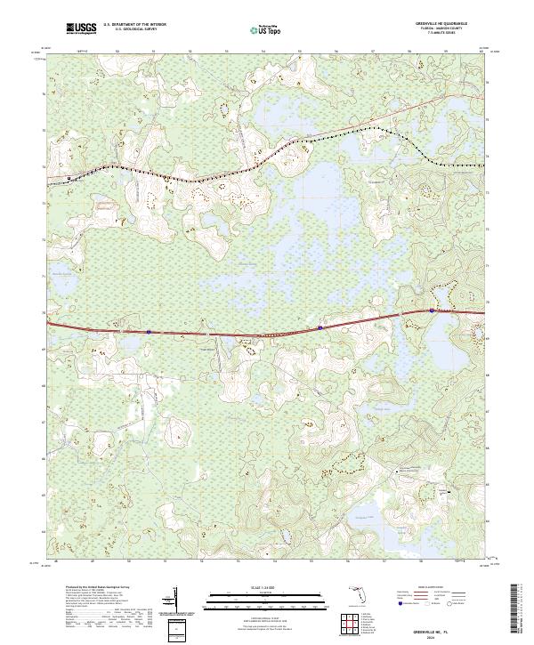
2024 Map of Greenville NE
USGS Topo · Published 2024About this map
Hixtown Swamp dominates the central landscape of this Madison County region, illustrating the intricate hydrology of the Florida panhandle. The area is defined by a mosaic of wetlands and small water bodies, including Indian Lake and the significant Sampala Lake in the southeast. This modern survey shows a rural environment where land use is dictated by the water, with Sundown Creek and Sampala Swamp weaving between sparsely developed tracts.
Find a feature on this map
33 named features on this map. Tap any name to fly to it.
Don’t see what you’re looking for? This feature index may not catch every label — zoom into the map to look around manually.
Map Details
Editions of this 2024 Greenville NE Map
This is the sole edition of this map. No revisions or reprints were ever made.
Other maps of this area

1954 · Greenville
USGS Topo · 1:24,000

1954 · Greenville NE
USGS Topo · 1:24,000

1954 · Valdosta
USGS Topo · 1:250,000

1955 · Shady Grove
USGS Topo · 1:24,000

1955 · Greenville SE
USGS Topo · 1:24,000

1958 · Valdosta
USGS Topo · 1:250,000

1958 · Madison SW
USGS Topo · 1:24,000

1959 · Valdosta
USGS Topo · 1:250,000

1959 · Madison
USGS Topo · 1:24,000

1960 · Cherry Lake
USGS Topo · 1:24,000