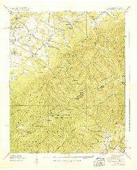
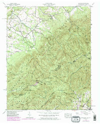
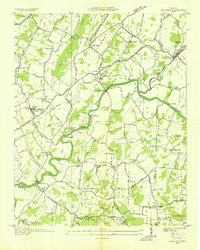
1939 Map of Greystone
USGS Topo · Published 1939About this map
The Bald Mountains rise along the Tennessee North Carolina border in this 1939 survey, defining a landscape where small mountain communities like Greystone and Bethany are linked by winding roads and gaps. Local life in the late 1930s is anchored by rural institutions such as Dobson Sch and Mountain View Ch, while more remote homesteads and cabins like Doak Cabin and Fox Cabin appear deep within the Cherokee National Forest. The map traces the early route of the Appalachian Trail as it follows the high ridges past Little Bald Mtn and Jones Meadow. Notable water sources like Waddell Spring and Hampton Spring emphasize the importance of natural hydrology for these upland settlements before modern infrastructure reached the more isolated hollows of the Pisgah National Forest.
Find a feature on this map
122 named features on this map. Tap any name to fly to it.
Don’t see what you’re looking for? This feature index may not catch every label — zoom into the map to look around manually.
Map Details
Editions of this 1939 Greystone Map
7 editions found
Other maps of this area

1892 · Greeneville
USGS Topo · 1:125,000

1894 · Asheville
USGS Topo · 1:125,000

1896 · Greeneville
USGS Topo · 1:125,000

1901 · Asheville
USGS Topo · 1:125,000

1904 · Greeneville
USGS Topo · 1:125,000

1935 · Hot Springs
USGS Topo · 1:24,000

1936 · Greystone
USGS Topo · 1:24,000

1936 · Sams Gap
USGS Topo · 1:24,000
1936 · Lake Davy Crockett
USGS Topo · 1:24,000
1936 · Chuckey
USGS Topo · 1:24,000