
1910 Map of Gros Ventre
USGS Topo · Published 1910About this map
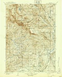
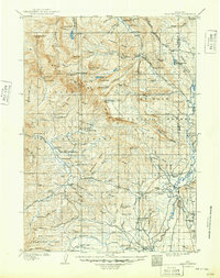
Darwin Ranch and a dozen other family homesteads populate this high-country landscape during a period when the Bonneville National Forest and Wyoming National Forest were newly designated. The distribution of properties like Robinsons Ranch and Kerrs Ranch indicates a settlement pattern tied closely to the water available from the Gros Ventre River and its numerous tributaries. High-elevation landmarks such as Tosi Peak and Crystal Peak define the horizon, while the presence of the Twin Creek School and the post office at Bondurant mark the core social centers for the scattered ranching families. The terrain is detailed with natural features ranging from Granite Falls and Hot Springs to the treacherous Spray Rapids, showing the land as it was navigated by early settlers and forest rangers before modern development altered the wilderness character of the region.
Find a feature on this map
112 named features on this map. Tap any name to fly to it.
Don’t see what you’re looking for? This feature index may not catch every label — zoom into the map to look around manually.
Map Details
Editions of this 1910 Gros Ventre Map
3 editions found
Other maps of this area

1899 · Grand Teton
USGS Topo · 1:125,000

1901 · Grand Teton
USGS Topo · 1:125,000

1902 · Mt Leidy
USGS Topo · 1:125,000

1905 · Younts Peak
USGS Topo · 1:125,000

1907 · Younts Peak
USGS Topo · 1:125,000

1907 · Gros Ventre
USGS Topo · 1:125,000

1909 · Fremont Peak
USGS Topo · 1:125,000

1921 · Afton
USGS Topo · 1:125,000

1931 · Jackson
USGS Topo · 1:125,000

1935 · Jackson
USGS Topo · 1:125,000